
Tateyama, Toyama / 雷鳥沢キャンプ場
Raichozawa Campsite
A campsite at 2,277 m surrounded by the beautiful Tateyama mountains, loved for its views of the Tateyama range and the Dainichi mountains and its alpine flowers. Popular as a base camp for climbers heading along the Tateyama ridges or to Mt. Okudainichi and for family camping, it fills with colourful tents in the August season. Tents pitch well on the flat ground, with toilets and cooking areas, and you can bathe in hot springs at nearby mountain huts.
Last official check
27 Sept 2026
Traveler reports
0
Reports open in Phase 2
Next scheduled check
26 Dec 2026
Decide before you go
A short summary made from the official facts below. Check the rows for details.
- Admission
- Paid (see the price below)
- Closing days
- Closures change with the season
Before you go
Only facts we confirmed on official sources are shown. Anything else is marked “Not checked yet”.
- Opening hours
Open from Saturday April 18, 2026 to late October (water and toilets for the same period).
Checked 27 Sept 2026 on the official site- Closed
Closed in winter (late October to late April).
Checked 27 Sept 2026 on the official site- Admission
1,000 yen per person per night (as a contribution); elementary pupils and under free.
Checked 27 Sept 2026 on the official site- Getting there
About 45 minutes on foot from Murodo Terminal on the Tateyama Kurobe Alpine Route.
Checked 27 Sept 2026 on the official site- Parking
None (no vehicle access).
Checked 27 Sept 2026 on the official site- Payment
Not checked yet — we have not confirmed this on an official source yet. Check with the spot before you go.
- Accessibility
Not checked yet — we have not confirmed this on an official source yet. Check with the spot before you go.
Found wrong or outdated information? Let us know
Address: Tateyama, Toyama (Japanese address: 富山県中新川郡立山町芦峅寺雷鳥平)
Official site: https://www.info-toyama.com/attractions/31029
Location
Smaller pins are other spots nearby.
Nearby spots
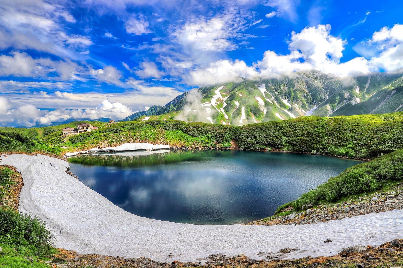 Photo: くろふね / Wikimedia Commons, CC BY-SA 4.0 (resized)Mikurigaike PondToyamaLess than 1 km away (straight line)
- No photo yetKurobe DamToyama6 km away (straight line)
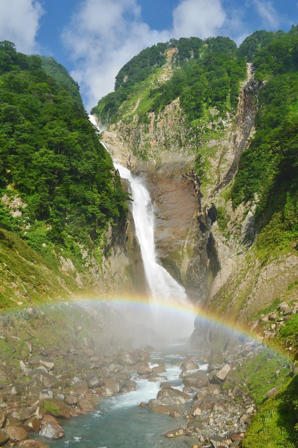 Photo: Saigen Jiro / Wikimedia Commons, CC0 (resized)Shomyo FallsToyama7 km away (straight line)
- No photo yetThe Model House for "Wolf Children"Toyama19 km away (straight line)
Distances are straight-line distances, not travel distances.
Crowds
- Crowd level
Not checked yet — no official source yet, and not enough traveler reports.
- Best time to visit
Not checked yet — no official source yet, and not enough traveler reports.
- Peak time
Not checked yet — no official source yet, and not enough traveler reports.
- Busiest days
Not checked yet — no official source yet, and not enough traveler reports.
- Busiest season
Not checked yet — no official source yet, and not enough traveler reports.
- Latest traveler report
- None yet
Traveler crowd data by time of day appears after 5 traveler reports (0 so far).
You can check typical busy hours in Google Maps ("Popular times" on the place's page). Open this spot in Google Maps
Visiting respectfully
- RulesNo advance booking needed.Checked 27 Sept 2026 on the official site
- RulesA portable toilet is required in the crowded summer season and from November, when the toilets cannot be used.Checked 27 Sept 2026 on the official site
- RulesTent space is limited; groups should avoid pitching solo tents as far as possible.Checked 27 Sept 2026 on the official site
- RulesThe area is home to precious alpine plants; do not pitch tents in or step into vegetated areas.Checked 27 Sept 2026 on the official site
- RulesIf you see a bear, never approach it or take photos; except at mealtimes keep food and rubbish inside the tent so they do not smell, and always take them home.Checked 27 Sept 2026 on the official site
- NatureDo not wash dishes at the water point.Checked 27 Sept 2026 on the official site
Verification log
- 27 Sept 2026First check · Tourism board · https://www.info-toyama.com/attractions/31029Fees, access, parking, cautions and rules, seasons, description, address and coordinates read from a tourism organization's site.