
Sanagochi, Tokushima / 大川原高原
Okawara Highland
A highland with a view over the Tokushima Plain, the Kii Channel and the Asan Mountains.
Last official check
28 Sept 2026
Traveler reports
0
Reports open in Phase 2
Next scheduled check
27 Dec 2026
Decide before you go
A short summary made from the official facts below. Check the rows for details.
- Getting there
- Bus / Car
Before you go
Only facts we confirmed on official sources are shown. Anything else is marked “Not checked yet”.
- Opening hours
Not checked yet — we have not confirmed this on an official source yet. Check with the spot before you go.
- Closed
Not checked yet — we have not confirmed this on an official source yet. Check with the spot before you go.
- Admission
Not checked yet — we have not confirmed this on an official source yet. Check with the spot before you go.
- Getting there
From the "Nakabe" stop on the Tokushima Bus Sanagochi line, a 180-minute walk (cars can drive up); 30 km (about 50 minutes) by car from central Tokushima.
Checked 28 Sept 2026 on the official site- Parking
Not checked yet — we have not confirmed this on an official source yet. Check with the spot before you go.
- Payment
Not checked yet — we have not confirmed this on an official source yet. Check with the spot before you go.
- Accessibility
Not checked yet — we have not confirmed this on an official source yet. Check with the spot before you go.
Found wrong or outdated information? Let us know
Address: Sanagochi, Tokushima (Japanese address: 徳島県名東郡佐那河内村大川原)
Official site: https://www.east-tokushima.jp/spot/detail.php?id=10&page=1
Location
Approximate location: this pin comes from Wikidata (a public database), not from an official page. We checked that it is close to the official address.
Smaller pins are other spots nearby.
Nearby spots
- No photo yetMt. Yamainu-dakeTokushima7 km away (straight line)
- No photo yetTokushima ZooTokushima12 km away (straight line)
- No photo yetFujiidera Temple (Temple 11 of the Shikoku Pilgrimage)Tokushima12 km away (straight line)
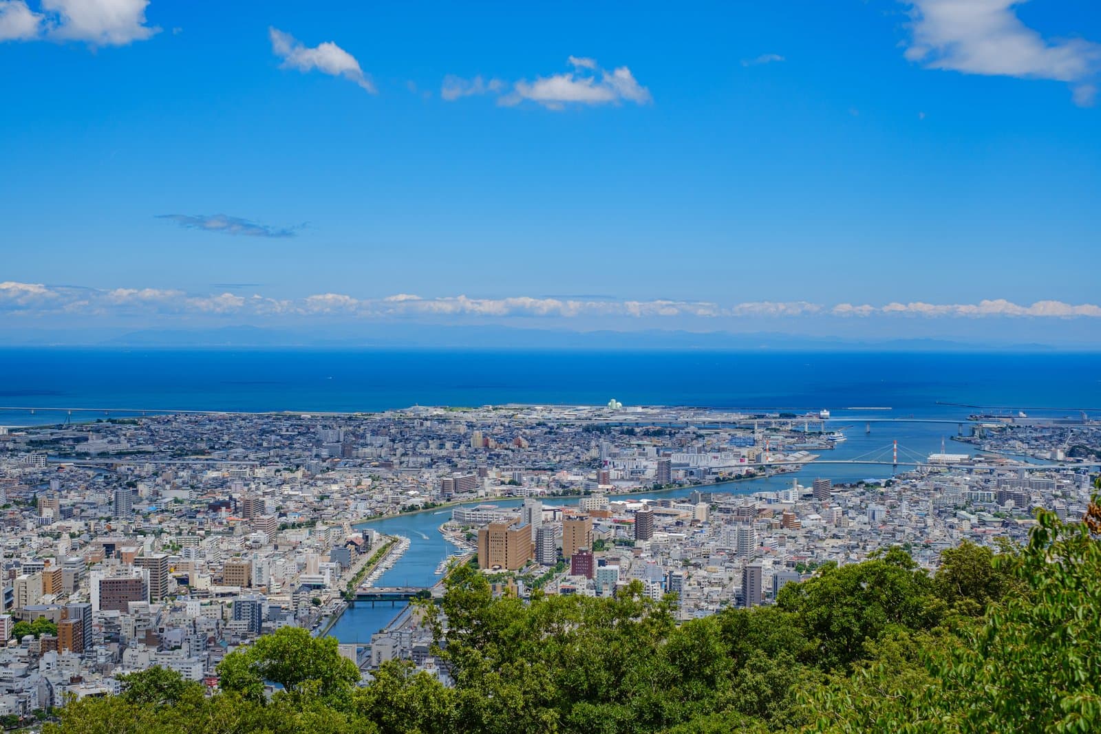 Photo: Photo ACMt. BizanTokushima15 km away (straight line)
- No photo yetAwagin Bizan RopewayTokushima18 km away (straight line)
Distances are straight-line distances, not travel distances. Some locations are approximate, so treat these distances as a rough guide.
Crowds
- Crowd level
Not checked yet — no official source yet, and not enough traveler reports.
- Best time to visit
Not checked yet — no official source yet, and not enough traveler reports.
- Peak time
Not checked yet — no official source yet, and not enough traveler reports.
- Busiest days
Not checked yet — no official source yet, and not enough traveler reports.
- Busiest season
Dogtooth violets and Awa mitsuba azaleas are at their best in late April. 30,000 hydrangeas are at their best in early July.
Checked 28 Sept 2026 on the official site- Latest traveler report
- None yet
Traveler crowd data by time of day appears after 5 traveler reports (0 so far).
You can check typical busy hours in Google Maps ("Popular times" on the place's page). Open this spot in Google Maps
Verification log
- 28 Sept 2026First check · Tourism board · https://www.east-tokushima.jp/spot/detail.php?id=10&page=1Access, seasons, description and address read from a tourism organization's site.