
Kamikatsu, Tokushima / 山犬嶽
Mt. Yamainu-dake
A 997.6 m mountain, named after rocks at the old summit said to look like a wild dog with its mouth open; its giant rocks and moss make the whole mountain a natural sanctuary. A steep path through deciduous old-growth forest leads to the Daishi-do hall of Ryuozan Tokoji, surrounded by giant cedars, and stone Buddhas of a miniature Shikoku 88-temple course stand in the forest. The view to the south is excellent, with autumn leaves recommended.
Last official check
28 Sept 2026
Traveler reports
0
Reports open in Phase 2
Next scheduled check
27 Dec 2026
Before you go
Only facts we confirmed on official sources are shown. Anything else is marked “Not checked yet”.
- Opening hours
Not checked yet — we have not confirmed this on an official source yet. Check with the spot before you go.
- Closed
Not checked yet — we have not confirmed this on an official source yet. Check with the spot before you go.
- Admission
Not checked yet — we have not confirmed this on an official source yet. Check with the spot before you go.
- Getting there
Not checked yet — we have not confirmed this on an official source yet. Check with the spot before you go.
- Parking
There is no car park at the trailhead; park about 2 km before it and walk.
Checked 28 Sept 2026 on the official site- Payment
Not checked yet — we have not confirmed this on an official source yet. Check with the spot before you go.
- Accessibility
Not checked yet — we have not confirmed this on an official source yet. Check with the spot before you go.
Found wrong or outdated information? Let us know
Address: Kamikatsu, Tokushima (Japanese address: 徳島県勝浦郡上勝町大字生実 山犬嶽)
Official site: https://www.east-tokushima.jp/spot/detail.php?id=87&page=1
Location
Approximate location: this pin comes from Wikidata (a public database), not from an official page. We checked that it is close to the official address.
Smaller pins are other spots nearby.
Nearby spots
- No photo yetOkawara HighlandTokushima7 km away (straight line)
- No photo yetFujiidera Temple (Temple 11 of the Shikoku Pilgrimage)Tokushima17 km away (straight line)
- No photo yetTokushima ZooTokushima19 km away (straight line)
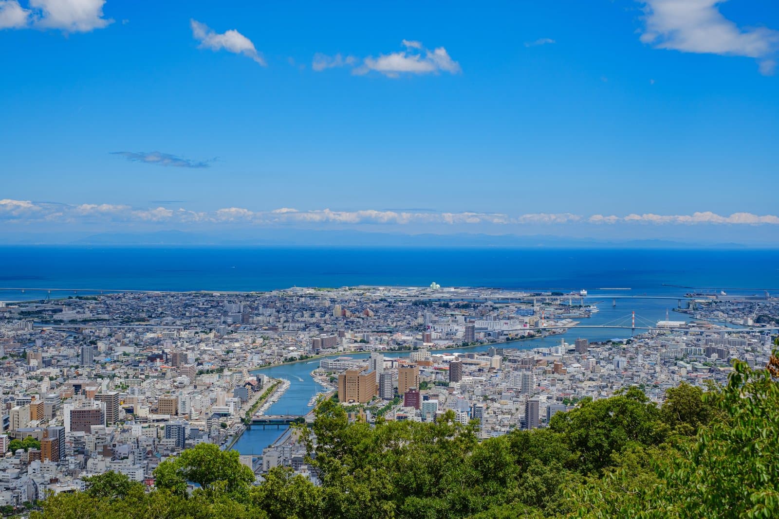 Photo: Photo ACMt. BizanTokushima22 km away (straight line)
- No photo yetYakuoji Temple (No. 23)Tokushima23 km away (straight line)
Distances are straight-line distances, not travel distances. Some locations are approximate, so treat these distances as a rough guide.
Crowds
- Crowd level
Not checked yet — no official source yet, and not enough traveler reports.
- Best time to visit
Not checked yet — no official source yet, and not enough traveler reports.
- Peak time
Not checked yet — no official source yet, and not enough traveler reports.
- Busiest days
Not checked yet — no official source yet, and not enough traveler reports.
- Busiest season
Recommended in the autumn-leaf season.
Checked 28 Sept 2026 on the official site- Latest traveler report
- None yet
Traveler crowd data by time of day appears after 5 traveler reports (0 so far).
You can check typical busy hours in Google Maps ("Popular times" on the place's page). Open this spot in Google Maps
Verification log
- 28 Sept 2026First check · Tourism board · https://www.east-tokushima.jp/spot/detail.php?id=87&page=1Access, parking, description and address read from a tourism organization's site.