
Kirishima, Kagoshima / 韓国岳
Mt. Karakuni
At 1,700 m the highest peak of the Kirishima volcanoes, with a large crater 900 m across and 300 m deep. Its name is said to come from its fine views, high enough to see as far as neighbouring Korea. Check the latest information on climbing restrictions due to volcanic activity on the Kirishima City website and elsewhere.
Last official check
27 Sept 2026
Traveler reports
0
Reports open in Phase 2
Next scheduled check
26 Dec 2026
Decide before you go
A short summary made from the official facts below. Check the rows for details.
- Getting there
- Car
- Admission
- Free entry
Before you go
Only facts we confirmed on official sources are shown. Anything else is marked “Not checked yet”.
- Opening hours
No time limits (all year; check the latest information on climbing restrictions due to volcanic activity).
Checked 27 Sept 2026 on the official site- Closed
Not checked yet — we have not confirmed this on an official source yet. Check with the spot before you go.
- Admission
Free.
Checked 27 Sept 2026 on the official site- Getting there
By car about 60 minutes from Mizobe-Kagoshima-Kuko IC to the Karakunidake trailhead.
Checked 27 Sept 2026 on the official site- Parking
Ebino Eco-Museum Center car park (paid).
Checked 27 Sept 2026 on the official site- Payment
Not checked yet — we have not confirmed this on an official source yet. Check with the spot before you go.
- Accessibility
Not checked yet — we have not confirmed this on an official source yet. Check with the spot before you go.
Found wrong or outdated information? Let us know
Address: Kirishima, Kagoshima (Japanese address: 鹿児島県霧島市)
Official site: https://www.kagoshima-kankou.com/guide/51690
Location
Smaller pins are other spots nearby.
Nearby spots
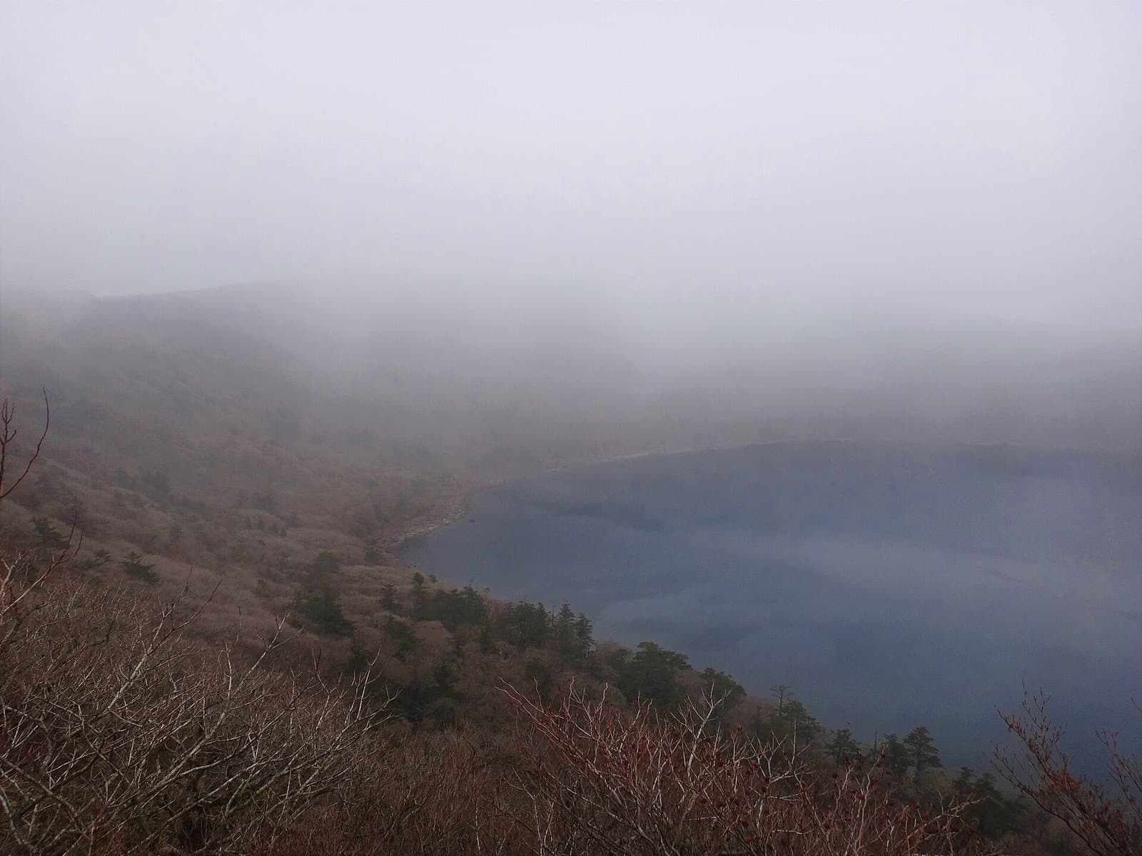 Photo: Koda6029 / Wikimedia Commons, CC BY-SA 4.0 (resized)Onami PondKagoshima2 km away (straight line)
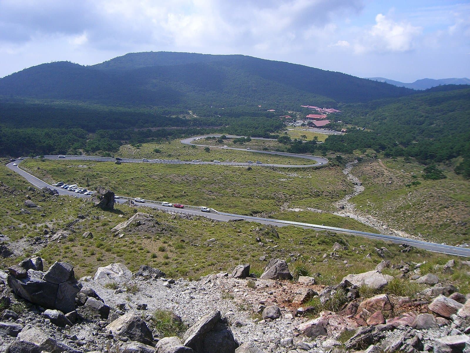 Photo: Ray_go / Wikimedia Commons, CC BY-SA 3.0 (resized)Ebino Kogen PlateauMiyazaki2 km away (straight line)
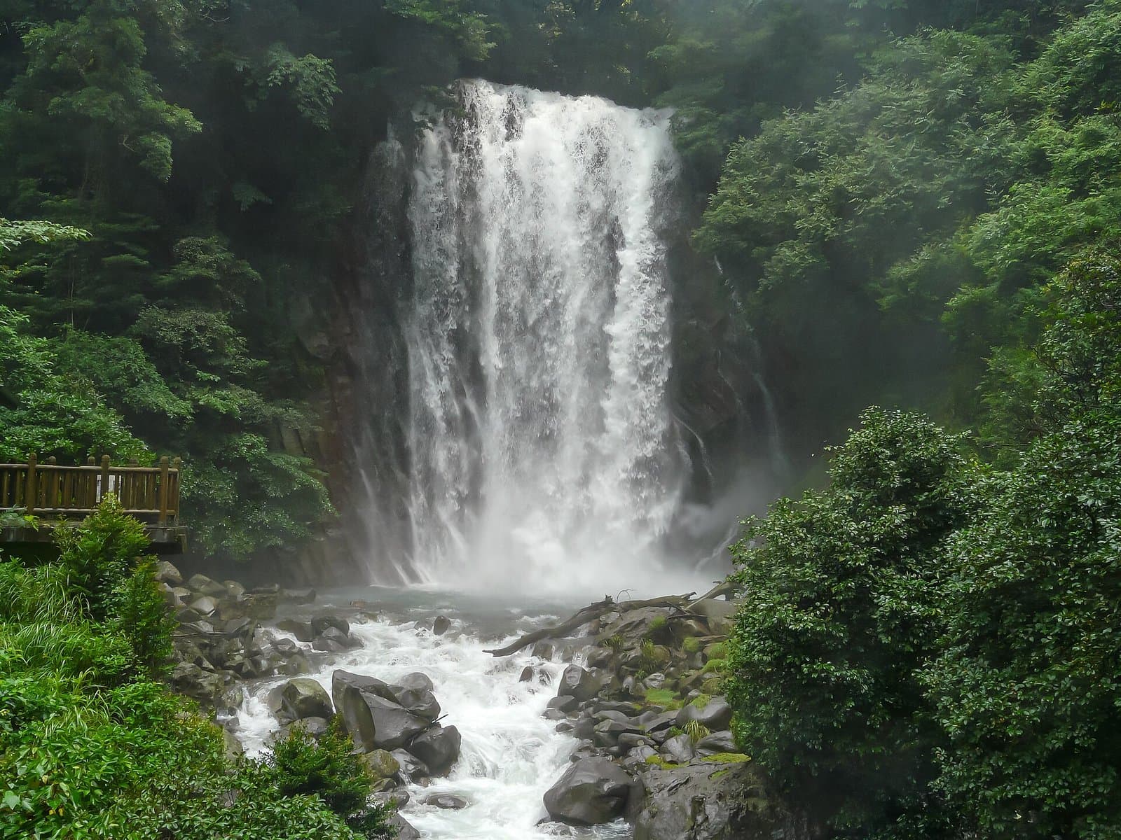 Photo: Naokijp / Wikimedia Commons, CC BY-SA 4.0 (resized)Maruo FallsKagoshima5 km away (straight line)
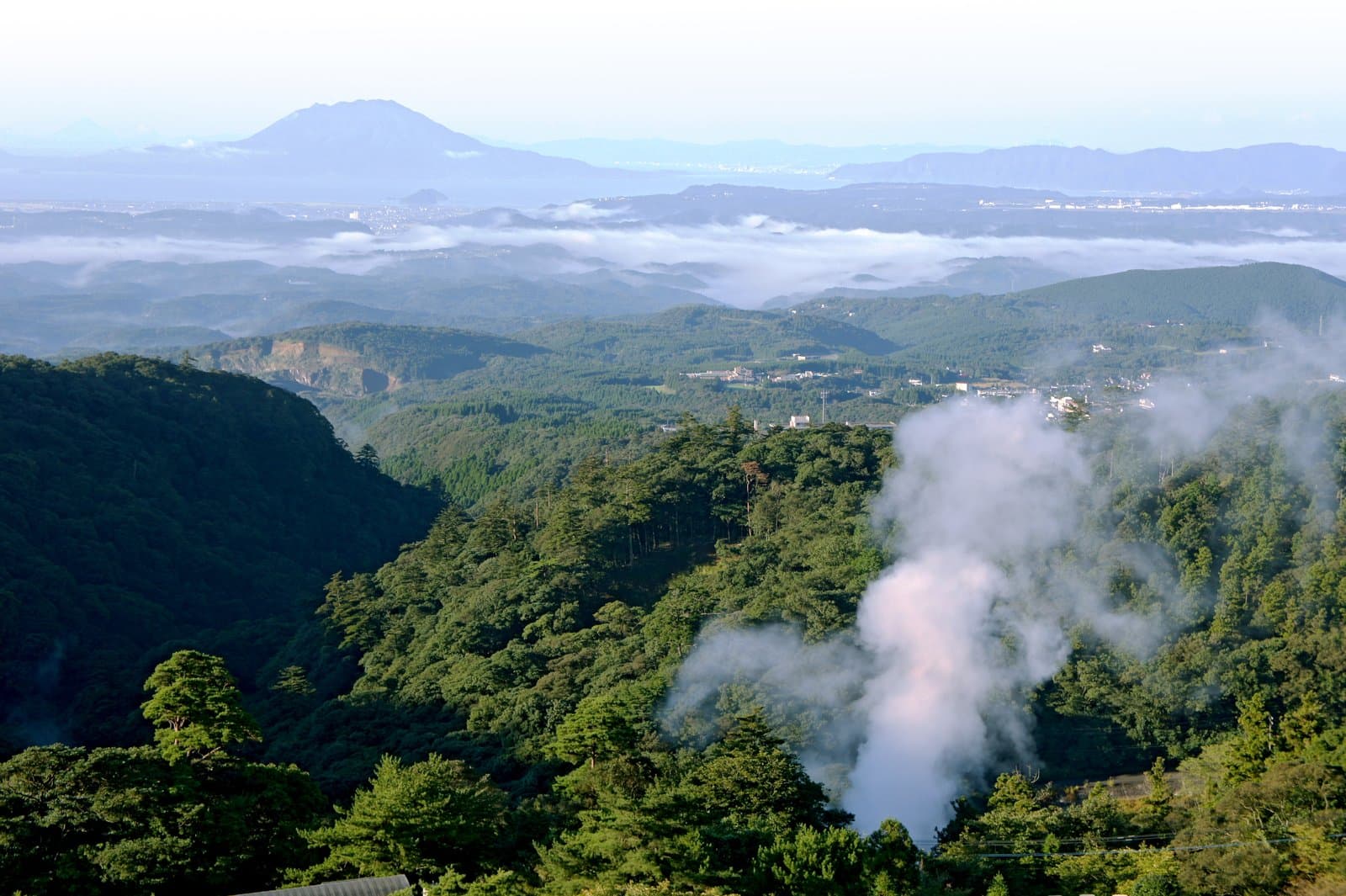 Photo: 663highland / Wikimedia Commons, CC BY 2.5 (resized)Kirishima Onsen Village (Maruo)Kagoshima6 km away (straight line)
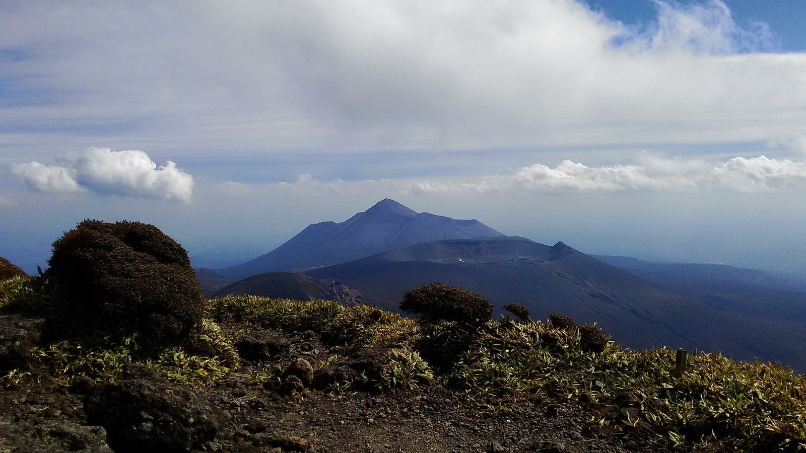 Photo: Ayumu Ozaki / Wikimedia Commons, Public domain (resized)Mt. Takachiho-no-mineKagoshima6 km away (straight line)
Distances are straight-line distances, not travel distances.
Crowds
- Crowd level
Not checked yet — no official source yet, and not enough traveler reports.
- Best time to visit
Not checked yet — no official source yet, and not enough traveler reports.
- Peak time
Not checked yet — no official source yet, and not enough traveler reports.
- Busiest days
Not checked yet — no official source yet, and not enough traveler reports.
- Busiest season
Not checked yet — no official source yet, and not enough traveler reports.
- Latest traveler report
- None yet
Traveler crowd data by time of day appears after 5 traveler reports (0 so far).
You can check typical busy hours in Google Maps ("Popular times" on the place's page). Open this spot in Google Maps
Visiting respectfully
- RulesCheck the Kirishima City website and elsewhere for the latest trail information, including climbing restrictions due to volcanic activity.Checked 27 Sept 2026 on the official site
- RulesKirishimayama (Shinmoedake) is at volcanic alert level 2 (restrictions around the crater), and trails around Shinmoedake are closed (Miyazaki Prefecture notice updated September 24, 2026; checked September 27, 2026).Checked 27 Sept 2026 on the official site
- RulesBecause of the volcanic gas area, the trail from the Mt. Iwo trailhead via Mt. Iwo to Mt. Karakuni is closed. Mt. Karakuni can be climbed by the detour trail from the south side of the Ebino Eco Museum Center car park (Ebino City page; checked September 27, 2026).Checked 27 Sept 2026 on the official site
Verification log
- 27 Sept 2026First check · Local government · https://www.pref.miyazaki.lg.jp/kiki-kikikanri/bosai/saigai/kirisima.htmlVolcanic alert level and trail restrictions for Kirishimayama read from Miyazaki Prefecture's notice (updated September 24, 2026).
- 27 Sept 2026First check · Local government · https://www.city.ebino.lg.jp/kanko/area/3/3516.htmlTrail closures around Mt. Iwo and the route to Mt. Karakuni read from Ebino City's page (updated August 12, 2026).
- 27 Sept 2026First check · Tourism board · https://www.kagoshima-kankou.com/guide/51690Hours, fees, access, parking, cautions and rules, description and coordinates read from a tourism organization's site.