
Yusui, Kagoshima / 丸池湧水
Maruike Spring
One of Japan's "100 Best Waters", Maruike wells up about 60,000 tonnes a day of water from the foot of the Kirishima mountains, pushing up the sand of its clear bottom, and is used for the town's water supply. There is a water-drawing place, and people come from afar to collect water. It is known for cherry blossoms in spring and fireflies in summer, and the stone path along the channel is good for walking.
Last official check
27 Sept 2026
Traveler reports
0
Reports open in Phase 2
Next scheduled check
26 Dec 2026
Decide before you go
A short summary made from the official facts below. Check the rows for details.
- Getting there
- Train / Bus
Before you go
Only facts we confirmed on official sources are shown. Anything else is marked “Not checked yet”.
- Opening hours
Open all year.
Checked 27 Sept 2026 on the official site- Closed
Not checked yet — we have not confirmed this on an official source yet. Check with the spot before you go.
- Admission
Not checked yet — we have not confirmed this on an official source yet. Check with the spot before you go.
- Getting there
By car about 25 minutes from Kagoshima Airport (expressway), about 5 minutes from Kurino IC (Kyushu Expressway), about 40 minutes from Kirishima Onsen or about 50 minutes from Kagoshima-Chuo Station; by train about 1 hour 40 minutes from Kagoshima-Chuo Station to Kurino Station (JR Hisatsu Line), then about 3 minutes on foot; by the Yusui town sightseeing bus (weekends, holidays and school holidays only) to Kurino Station.
Checked 27 Sept 2026 on the official site- Parking
Available.
Checked 27 Sept 2026 on the official site- Payment
Not checked yet — we have not confirmed this on an official source yet. Check with the spot before you go.
- Accessibility
Not checked yet — we have not confirmed this on an official source yet. Check with the spot before you go.
Found wrong or outdated information? Let us know
Address: Yusui, Kagoshima (Japanese address: 鹿児島県姶良郡湧水町木場589)
Official site: https://www.kagoshima-kankou.com/guide/10162
Location
Smaller pins are other spots nearby.
Nearby spots
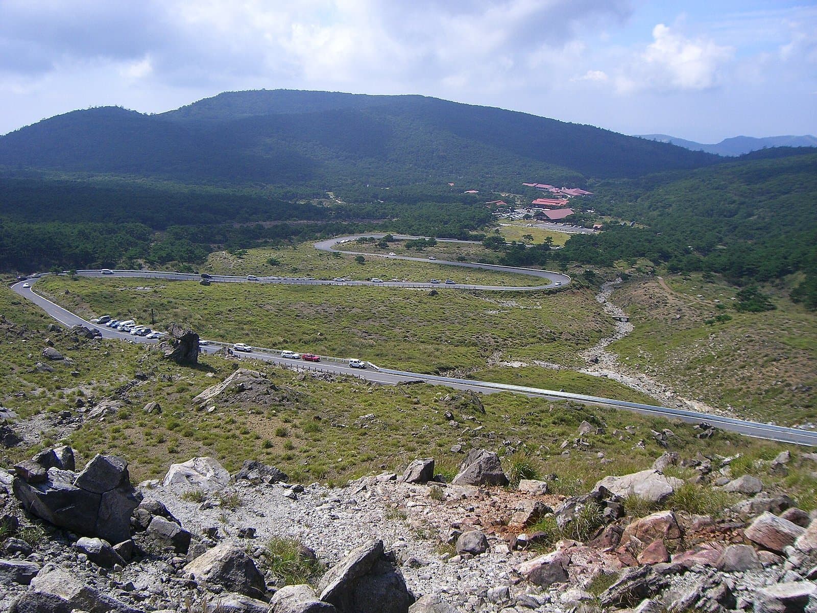 Photo: Ray_go / Wikimedia Commons, CC BY-SA 3.0 (resized)Ebino Kogen PlateauMiyazaki12 km away (straight line)
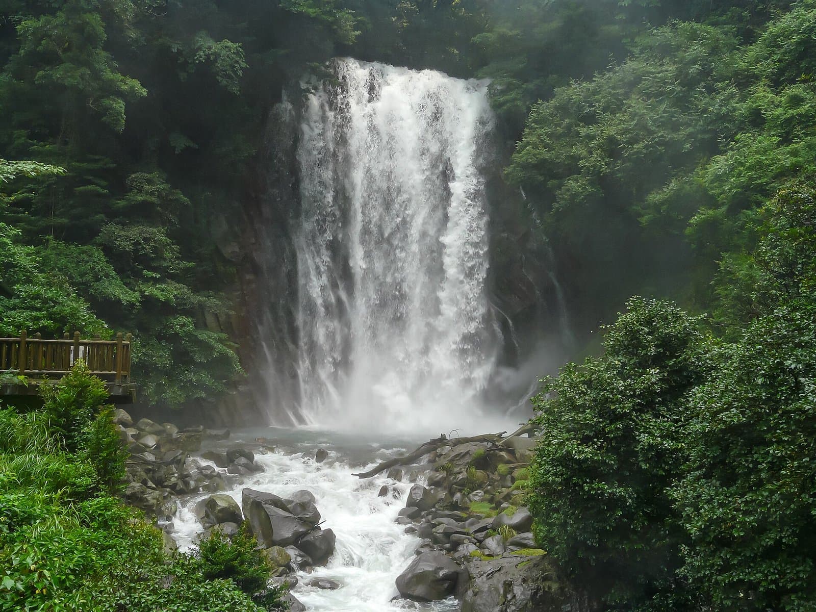 Photo: Naokijp / Wikimedia Commons, CC BY-SA 4.0 (resized)Maruo FallsKagoshima12 km away (straight line)
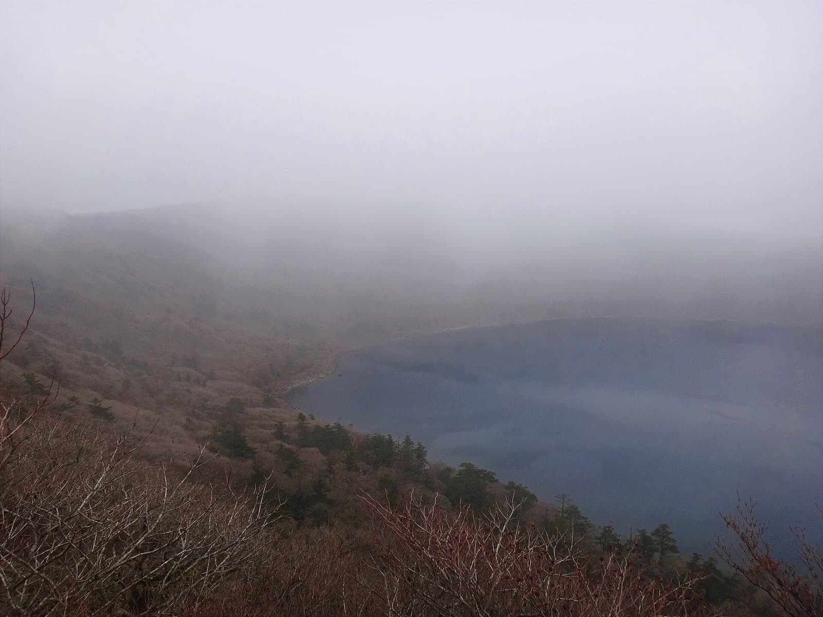 Photo: Koda6029 / Wikimedia Commons, CC BY-SA 4.0 (resized)Onami PondKagoshima12 km away (straight line)
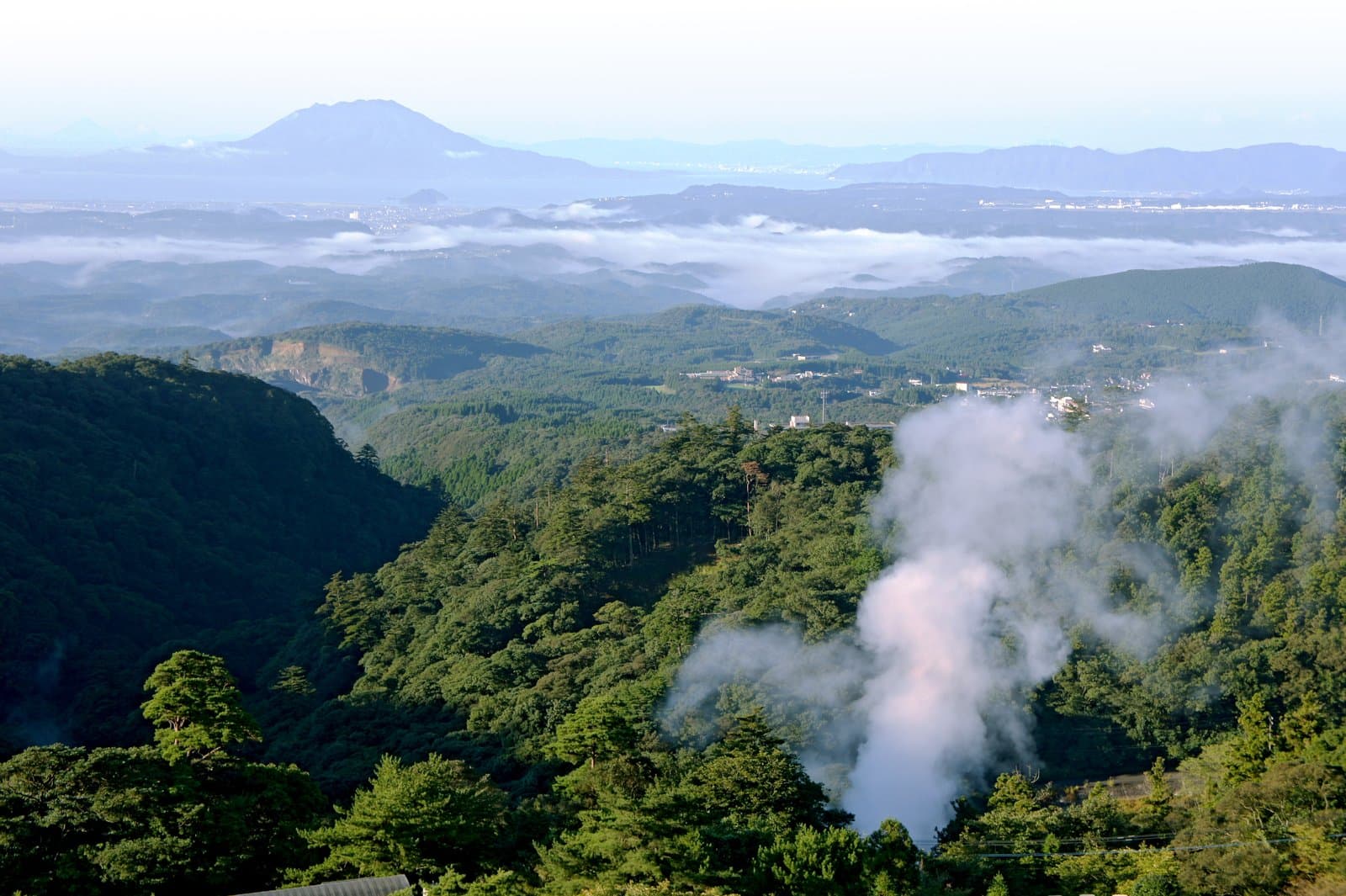 Photo: 663highland / Wikimedia Commons, CC BY 2.5 (resized)Kirishima Onsen Village (Maruo)Kagoshima13 km away (straight line)
- No photo yetMt. KarakuniKagoshima13 km away (straight line)
Distances are straight-line distances, not travel distances.
Crowds
- Crowd level
Not checked yet — no official source yet, and not enough traveler reports.
- Best time to visit
Not checked yet — no official source yet, and not enough traveler reports.
- Peak time
Not checked yet — no official source yet, and not enough traveler reports.
- Busiest days
In early September, the "Meisui Maruike Kansha no Yube", when about 1,000 bamboo lanterns are floated on and around the pond.
Checked 27 Sept 2026 on the official site- Busiest season
Cherry blossoms in spring and fireflies in summer.
Checked 27 Sept 2026 on the official site- Latest traveler report
- None yet
Traveler crowd data by time of day appears after 5 traveler reports (0 so far).
You can check typical busy hours in Google Maps ("Popular times" on the place's page). Open this spot in Google Maps
Verification log
- 27 Sept 2026First check · Tourism board · https://www.kagoshima-kankou.com/guide/10162Access, parking, description, address and coordinates read from a tourism organization's site.