
Semboku, Akita / 田沢湖
Lake Tazawa
Japan's deepest lake (423.4 m), a round lake about 20 km around with deep blue water.
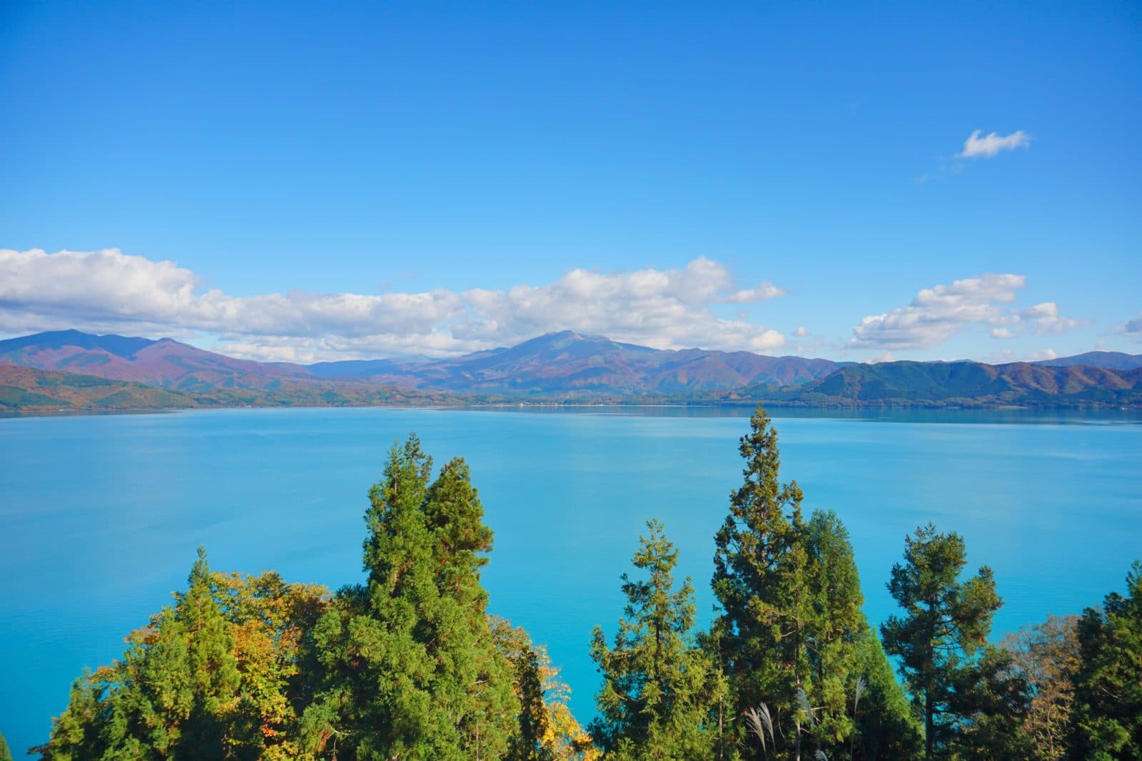
Last official check
25 Sept 2026
Traveler reports
0
Reports open in Phase 2
Next scheduled check
24 Dec 2026
Decide before you go
A short summary made from the official facts below. Check the rows for details.
- Getting there
- Train / Bus
Before you go
Only facts we confirmed on official sources are shown. Anything else is listed under “Not yet confirmed”.
- Getting there
From JR Tazawako Station, Ugo Kotsu bus (e.g. the "Tazawako Isshu" loop line) to "Tazawako-han", about 15 min. From Akita Airport, the "Akita Airport Liner" to the lake area, about 100 min.
Checked 25 Sept 2026 on a local government page- Not yet confirmed
Opening hours, Closed, Admission, Parking, Payment, Accessibility
we have not confirmed this on an official source yet. Check with the spot before you go.
Found wrong or outdated information? Let us know
Address: Semboku, Akita (Japanese address: 秋田県仙北市田沢湖潟字搓湖)
Official site: https://www.city.semboku.akita.jp/sightseeing/spot/04_tazawako.html
Location
Smaller pins are other spots nearby.
Nearby spots
 Photo: Photo ACLake ShusenkoAkita7 km away (straight line)
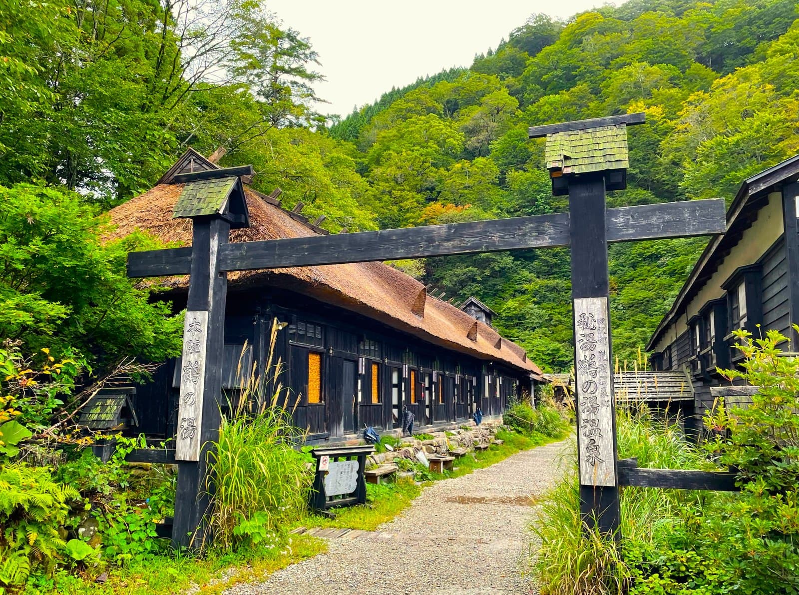 Photo: Photo ACTsurunoyu Onsen, Nyuto Onsen VillageAkita13 km away (straight line)
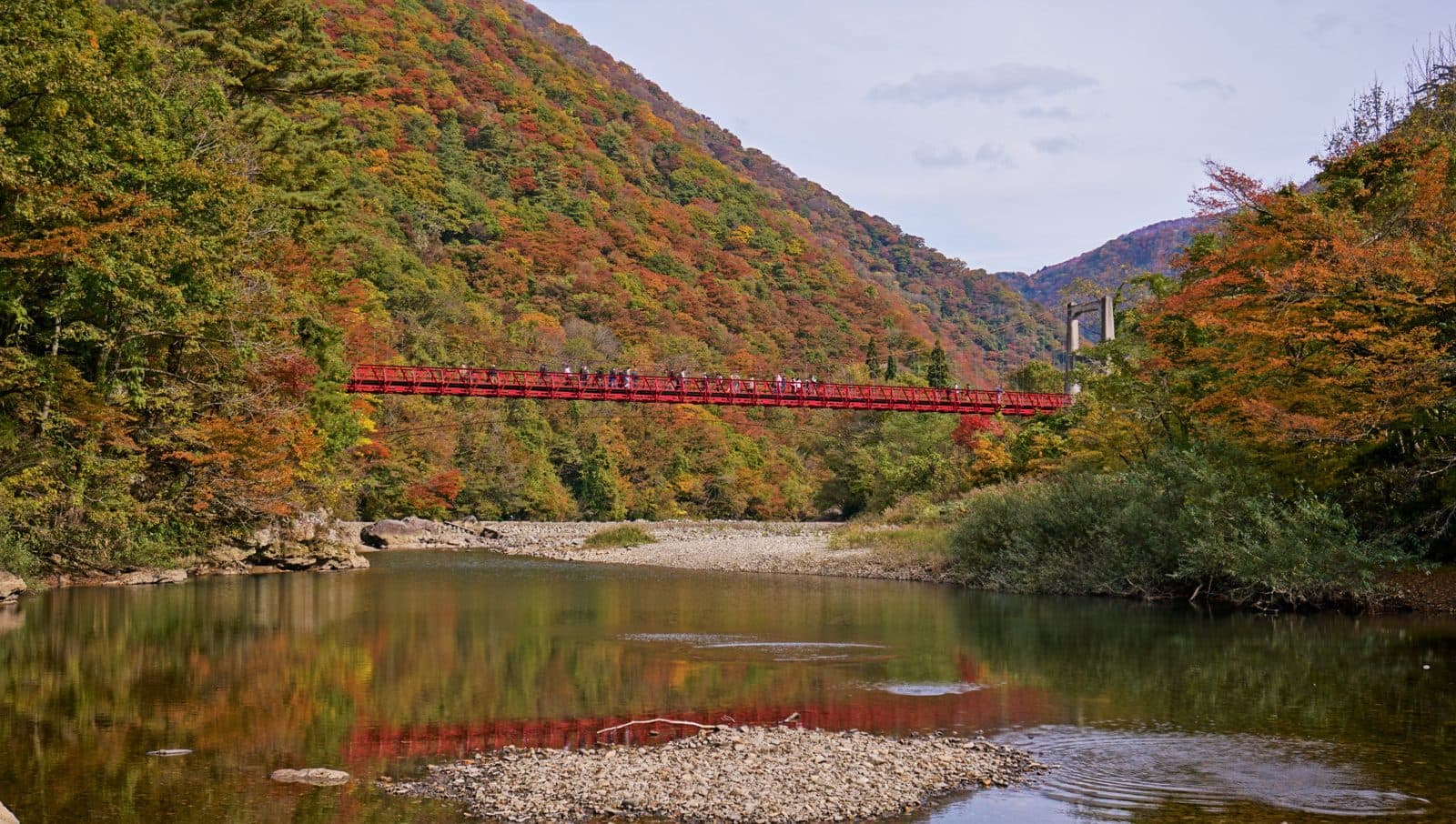 Photo: 掬茶 / Wikimedia Commons, CC BY-SA 4.0 (resized)Dakigaeri GorgeAkita13 km away (straight line)
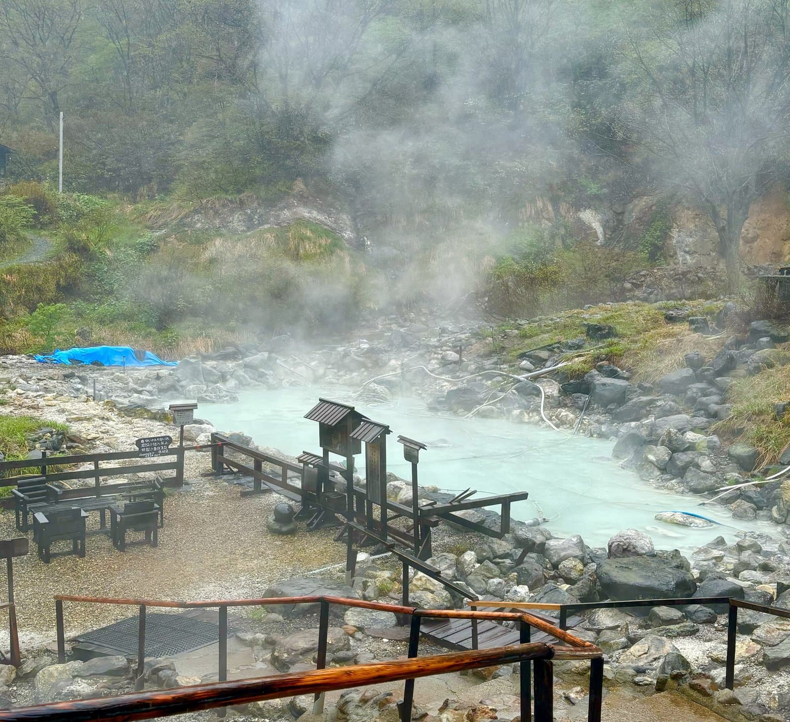 Photo: Photo ACKuroyu Onsen, Nyuto Onsen VillageAkita15 km away (straight line)
- No photo yetKakunodate Kabazaiku DenshokanAkita17 km away (straight line)
Distances are straight-line distances, not travel distances.
Crowds
- Not yet confirmed
Crowd level, Best time to visit, Peak time, Busiest days, Busiest season
no official source yet, and not enough traveler reports.
- Latest traveler report
- None yet
Traveler crowd data by time of day appears after 5 traveler reports (0 so far).
You can check typical busy hours in Google Maps ("Popular times" on the place's page). Open this spot in Google Maps
Verification log
- 25 Sept 2026First check · Local government · https://www.city.semboku.akita.jp/sightseeing/spot/04_tazawako.htmlAccess and description read from the local government's site.
- 25 Sept 2026First check · Tourism board · https://akita-fun.jp/spots/15Address and coordinates read from a tourism organization's site.