
Nara, Nara / 春日山原始林
Kasugayama Primeval Forest
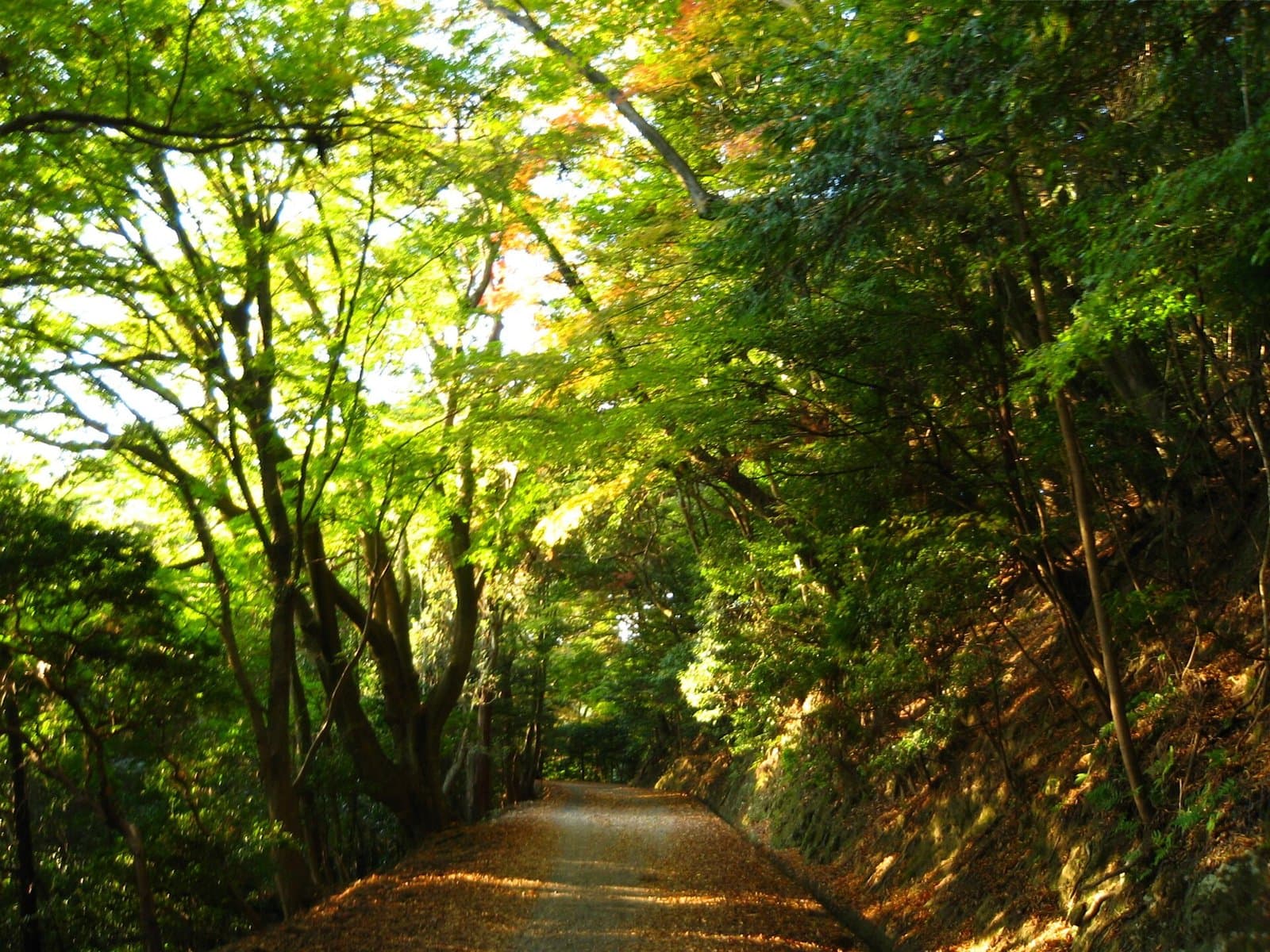
A sacred forest protected as the holy ground of Kasuga Taisha since hunting and logging were banned over 1,100 years ago; a World Cultural Heritage Site and a Special Natural Monument. A walk on the Kasuga Okuyama trail from Mizuya Shrine is recommended: the north route from Kasuga Taisha to the top of Mt. Wakakusa is about 3 km (about 40 minutes), and the south route from the summit back to Kasuga Taisha is about 8 km (about 2 hours).
Last official check
26 Sept 2026
Traveler reports
0
Reports open in Phase 2
Next scheduled check
25 Dec 2026
Decide before you go
A short summary made from the official facts below. Check the rows for details.
- Getting there
- Train
Before you go
Only facts we confirmed on official sources are shown. Anything else is marked “Not checked yet”.
- Opening hours
Not checked yet — we have not confirmed this on an official source yet. Check with the spot before you go.
- Closed
Not checked yet — we have not confirmed this on an official source yet. Check with the spot before you go.
- Admission
Not checked yet — we have not confirmed this on an official source yet. Check with the spot before you go.
- Getting there
About 30 minutes on foot from Kintetsu Nara Station to Mizuya Shrine.
Checked 26 Sept 2026 on the official site- Parking
Not checked yet — we have not confirmed this on an official source yet. Check with the spot before you go.
- Payment
Not checked yet — we have not confirmed this on an official source yet. Check with the spot before you go.
- Accessibility
Not checked yet — we have not confirmed this on an official source yet. Check with the spot before you go.
Found wrong or outdated information? Let us know
Address: Nara, Nara (Japanese address: 奈良県奈良市春日野町ほか)
Official site: https://yamatoji.nara-kankou.or.jp/02nature/06forest-tree/01north_area/kasugayamagenshirin/
Location
Smaller pins are other spots nearby.
Nearby spots
- No photo yetKasuga Taisha ShrineNaraLess than 1 km away (straight line)
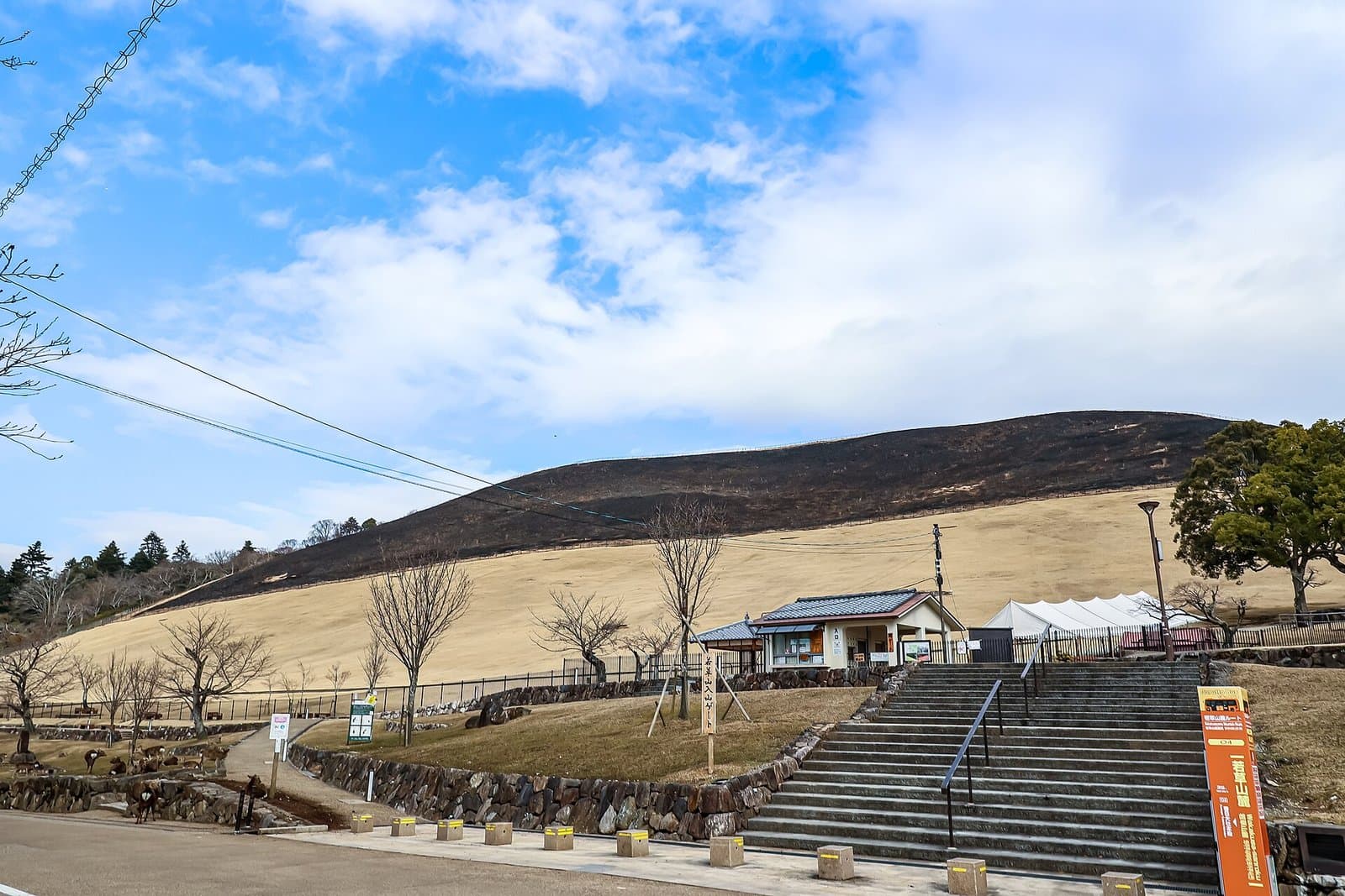 Photo: Naokijp / Wikimedia Commons, CC BY-SA 4.0 (resized)Mt. WakakusaNara1 km away (straight line)
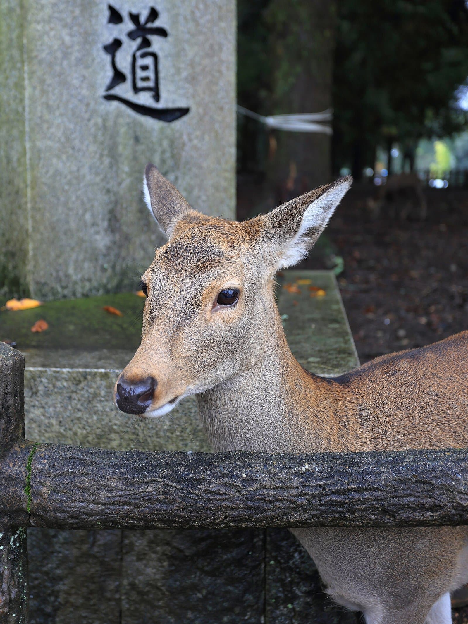 Photo: Martin Falbisoner / Wikimedia Commons, CC BY-SA 4.0 (resized)Nara ParkNara1 km away (straight line)
- No photo yetTodai-ji Nigatsu-do HallNara2 km away (straight line)
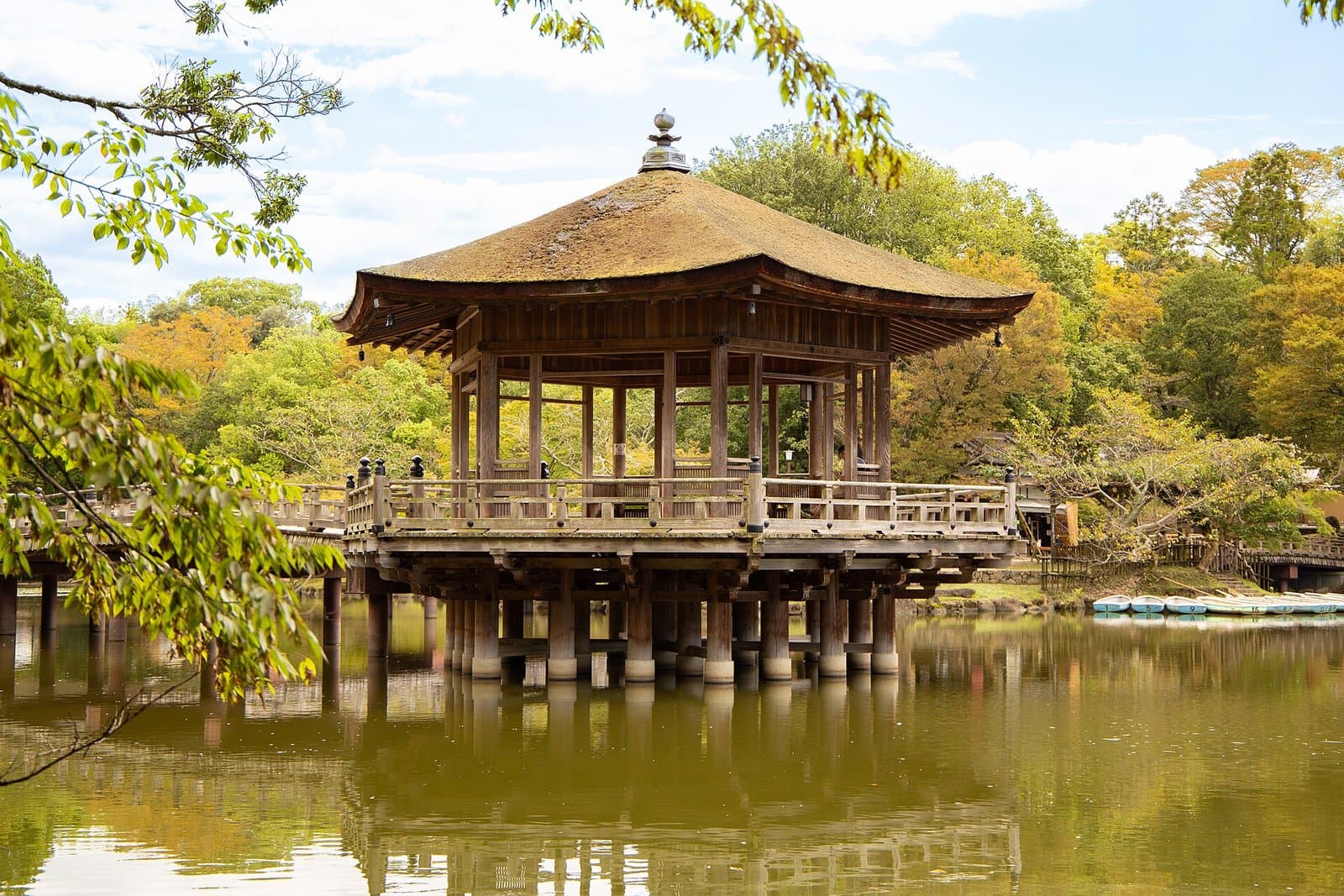 Photo: Ian G Shingler / Wikimedia Commons, CC BY-SA 4.0 (resized)Ukimido PavilionNara2 km away (straight line)
Distances are straight-line distances, not travel distances.
Crowds
- Crowd level
Not checked yet — no official source yet, and not enough traveler reports.
- Best time to visit
Not checked yet — no official source yet, and not enough traveler reports.
- Peak time
Not checked yet — no official source yet, and not enough traveler reports.
- Busiest days
Not checked yet — no official source yet, and not enough traveler reports.
- Busiest season
Not checked yet — no official source yet, and not enough traveler reports.
- Latest traveler report
- None yet
Traveler crowd data by time of day appears after 5 traveler reports (0 so far).
You can check typical busy hours in Google Maps ("Popular times" on the place's page). Open this spot in Google Maps
Visiting respectfully
- RulesDo not enter restricted areas; walk only on the trails.Checked 26 Sept 2026 on the official site
Verification log
- 26 Sept 2026First check · Tourism board · https://yamatoji.nara-kankou.or.jp/02nature/06forest-tree/01north_area/kasugayamagenshirin/Cautions and rules, description, address and coordinates read from a tourism organization's site.
- 26 Sept 2026First check · Tourism board · https://yamatoji.nara-kankou.or.jp/02nature/06forest-tree/01north_area/kasugayamagenshirin/access/Access and parking read from a tourism organization's site.