
Kitakyushu, Fukuoka / 平尾台
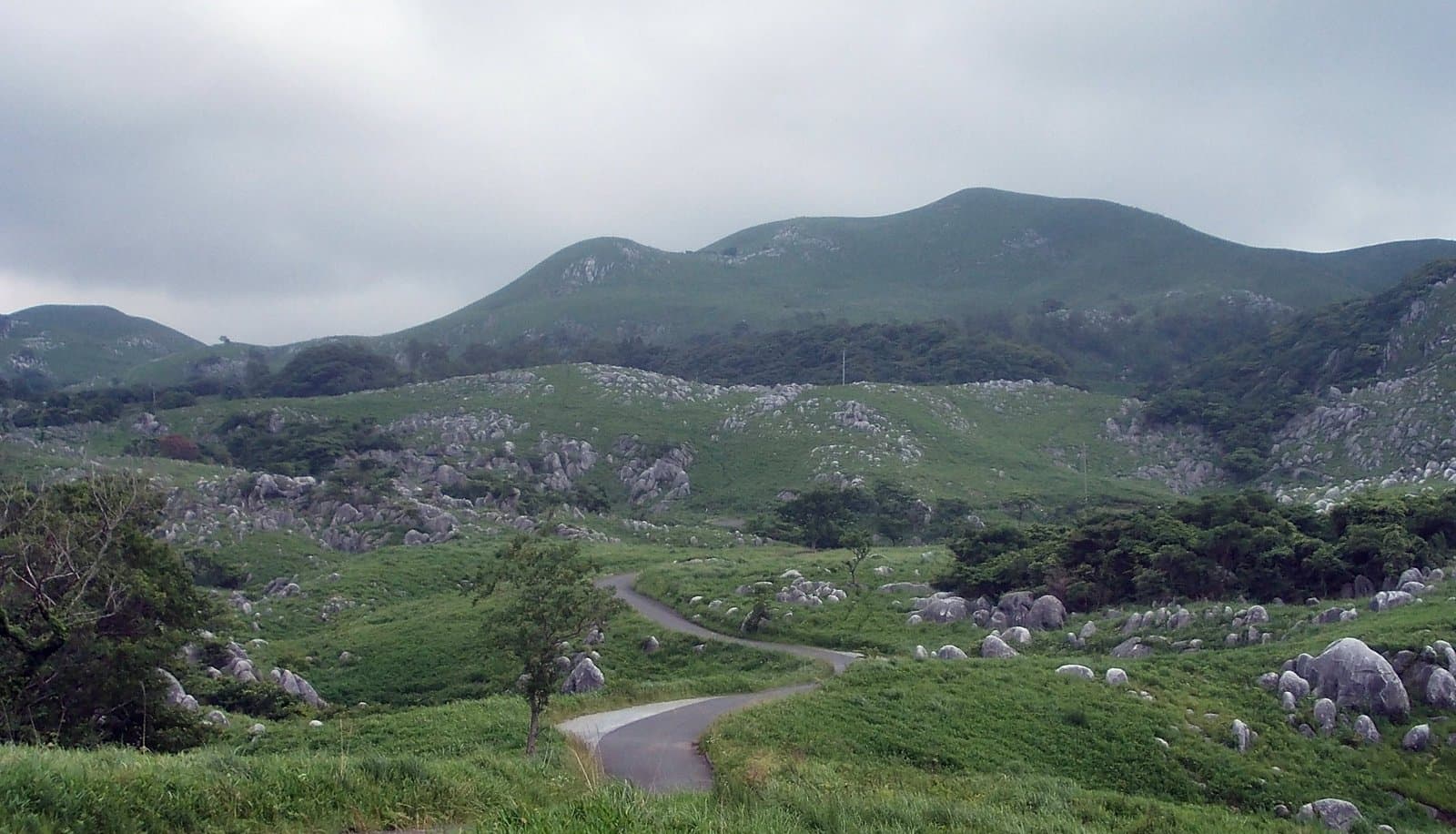
Hiraodai Karst Plateau
Hiraodai, said to have about 200 limestone caves, is a representative karst plateau where scattered white limestone looks like a flock of sheep grazing on grassland ("Yogunbaru"); together with the caves below it is a natural monument, and the area is part of the Kitakyushu Quasi-National Park. It is known as a mecca for caving, and guided tours let beginners explore natural caves by headlamp. There is burning of the fields in spring, fresh greenery and silver grass in autumn. Scale: 400-600 m above sea level, 11 km north-south and 2 km east-west.
Last official check
28 Sept 2026
Traveler reports
0
Reports open in Phase 2
Next scheduled check
27 Dec 2026
Decide before you go
A short summary made from the official facts below. Check the rows for details.
- Getting there
- Train / Bus / Car
Before you go
Only facts we confirmed on official sources are shown. Anything else is marked “Not checked yet”.
- Opening hours
Not checked yet — we have not confirmed this on an official source yet. Check with the spot before you go.
- Closed
Not checked yet — we have not confirmed this on an official source yet. Check with the spot before you go.
- Admission
Not checked yet — we have not confirmed this on an official source yet. Check with the spot before you go.
- Getting there
About 20 minutes from Kokura-minami IC (Kyushu Expressway); about 15 minutes by taxi from Ishiharamachi Station (JR Hitahikosan Line); or about 25 minutes by shared taxi from Ishiharamachi Station or the Nishitetsu Nakatani office (weekends and holidays from mid-March to late November, 4 round trips a day).
Checked 28 Sept 2026 on the official site- Parking
About 110 spaces (large-vehicle parking available).
Checked 28 Sept 2026 on the official site- Payment
Not checked yet — we have not confirmed this on an official source yet. Check with the spot before you go.
- Accessibility
Not checked yet — we have not confirmed this on an official source yet. Check with the spot before you go.
Found wrong or outdated information? Let us know
Address: Kitakyushu, Fukuoka (Japanese address: 福岡県北九州市小倉南区平尾台1-4-40 平尾台自然観察センター)
Official site: https://www.crossroadfukuoka.jp/spot/13075
Location
Smaller pins are other spots nearby.
Nearby spots
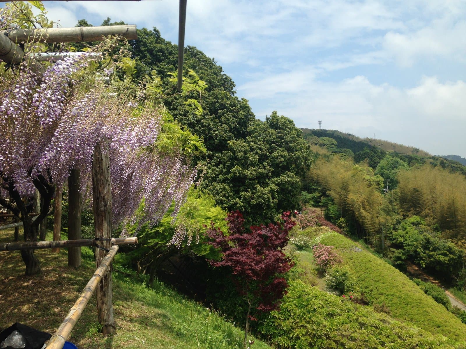 Photo: そらみみ (Soramimi) / Wikimedia Commons, CC BY-SA 4.0 (resized)Kawachi Fujien Wisteria GardenFukuoka13 km away (straight line)
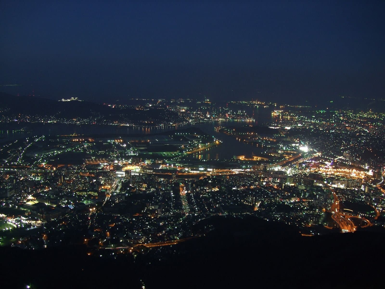 Photo: Muyo / Wikimedia Commons, CC BY-SA 4.0Mt. SarakuraFukuoka13 km away (straight line)
- No photo yetTanga MarketFukuoka14 km away (straight line)
- No photo yetKokura CastleFukuoka14 km away (straight line)
- No photo yetTagawa City Coal Mining Historical MuseumFukuoka15 km away (straight line)
Distances are straight-line distances, not travel distances.
Crowds
- Crowd level
Not checked yet — no official source yet, and not enough traveler reports.
- Best time to visit
Not checked yet — no official source yet, and not enough traveler reports.
- Peak time
Not checked yet — no official source yet, and not enough traveler reports.
- Busiest days
Not checked yet — no official source yet, and not enough traveler reports.
- Busiest season
Field burning in spring, fresh greenery, and silver grass in autumn.
Checked 28 Sept 2026 on the official site- Latest traveler report
- None yet
Traveler crowd data by time of day appears after 5 traveler reports (0 so far).
You can check typical busy hours in Google Maps ("Popular times" on the place's page). Open this spot in Google Maps
Verification log
- 28 Sept 2026First check · Tourism board · https://www.crossroadfukuoka.jp/spot/13075Access, parking, description, address and coordinates read from a tourism organization's site.