
Sotogahama, Aomori / 龍飛崎
Cape Tappi
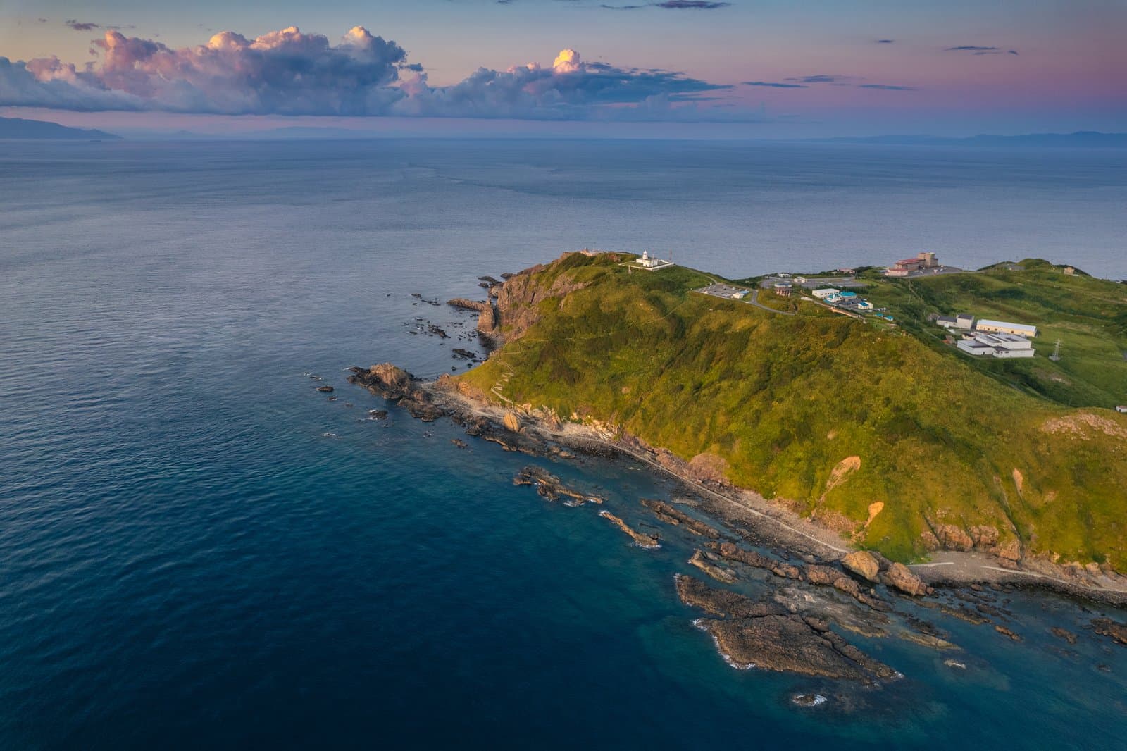
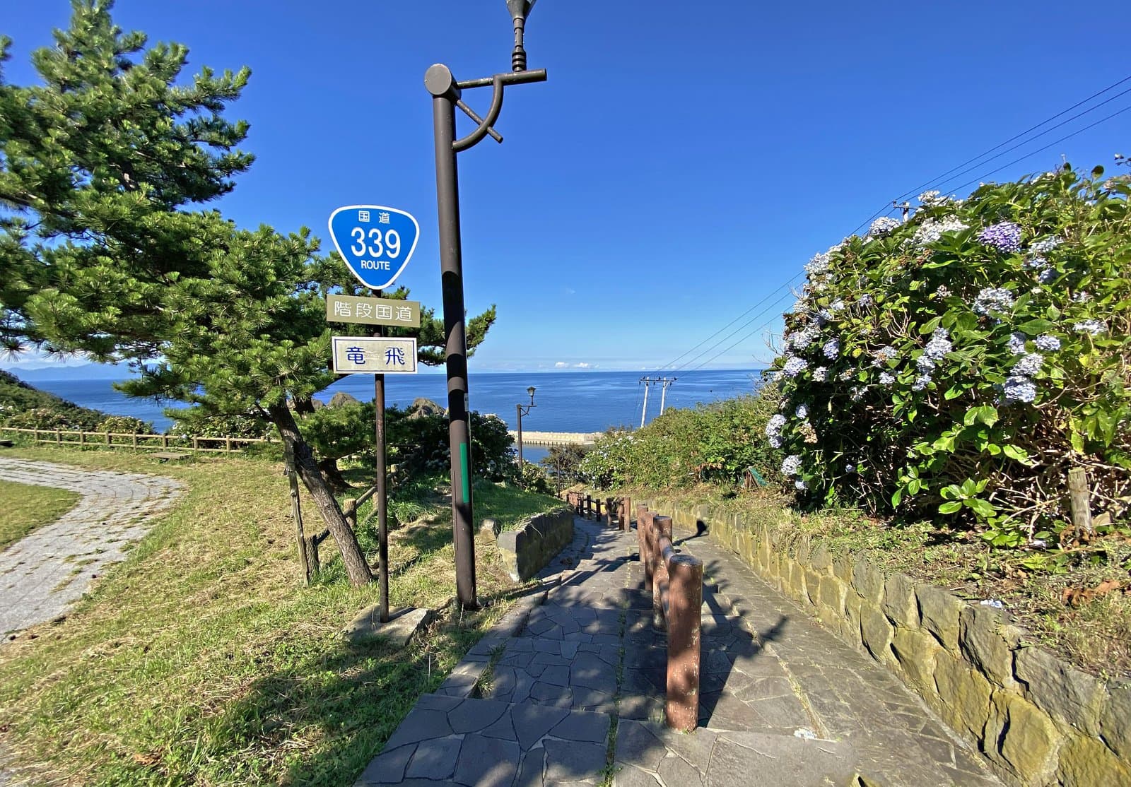
The windswept northern tip of the Tsugaru Peninsula, with a lighthouse chosen among Japan's 50 best and a 362-step national highway that no car can drive.
Last official check
25 Sept 2026
Traveler reports
0
Reports open in Phase 2
Next scheduled check
24 Dec 2026
Decide before you go
A short summary made from the official facts below. Check the rows for details.
- Getting there
- Train / Bus / Car
- Closing days
- Open every day (check the notes below)
Before you go
Only facts we confirmed on official sources are shown. Anything else is listed under “Not yet confirmed”.
- Closed
Open all year (the stairway highway closes in winter).
Checked 25 Sept 2026 on a tourism board site- Getting there
About 90 minutes by car from Aomori IC. From JR Minmaya Station, about 30 minutes by Sotogahama town bus to the Tappisaki Kayohi stop, then about 6 minutes on foot. The Tsugaru Line between Kanita and Minmaya is suspended; replacement buses and shared taxis run.
Checked 25 Sept 2026 on a tourism board site- Parking
Free: 40 car spaces and 3 for large buses.
Checked 25 Sept 2026 on a tourism board site- Not yet confirmed
Opening hours, Admission, Payment, Accessibility
we have not confirmed this on an official source yet. Check with the spot before you go.
Found wrong or outdated information? Let us know
Address: Sotogahama, Aomori (Japanese address: 青森県東津軽郡外ヶ浜町字三厩龍浜)
Official site: https://aomori-tourism.com/spot/detail_66.html
Location
Smaller pins are other spots nearby.
Nearby spots
Distances are straight-line distances, not travel distances.
Crowds
- Not yet confirmed
Crowd level, Best time to visit, Peak time, Busiest days, Busiest season
no official source yet, and not enough traveler reports.
- Latest traveler report
- None yet
Traveler crowd data by time of day appears after 5 traveler reports (0 so far).
You can check typical busy hours in Google Maps ("Popular times" on the place's page). Open this spot in Google Maps
Visiting respectfully
- Local etiquettePress the button on the "Tsugaru Kaikyo Fuyugeshiki" song monument to hear the song. The stairway highway is 388.2 m long, climbs 70 m and has 362 steps.Checked 25 Sept 2026 on a tourism board site
Verification log
- 25 Sept 2026First check · Tourism board · https://aomori-tourism.com/spot/detail_66.htmlClosing days, access, parking, accessibility and coordinates read from a tourism organization's site.