
Sotogahama, Aomori / 階段国道339号
National Route 339 Stairway
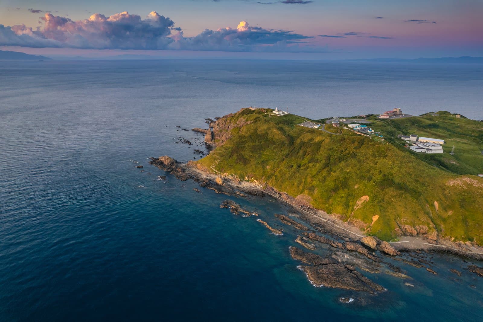
National Route 339, which passes Cape Tappi at the northern tip of the Tsugaru Peninsula, includes Japan's only "stairway national road", which cars and motorbikes cannot use. There are several theories about why it became a national road; one is that it was designated with plans to improve it, but the 70 m height difference and dense houses meant the stairs were never rebuilt. From Tappi fishing port below the cape to Tappizaki Lighthouse there are 362 steps, 388.2 m long with a rise of about 70 m. The climb is fairly hard, but there are benches on the way, and the views over the Tsugaru Strait are good.
Last official check
28 Sept 2026
Traveler reports
0
Reports open in Phase 2
Next scheduled check
27 Dec 2026
Decide before you go
A short summary made from the official facts below. Check the rows for details.
- Getting there
- Train / Bus
- Closing days
- Closures change with the season
Before you go
Only facts we confirmed on official sources are shown. Anything else is marked “Not checked yet”.
- Opening hours
Not checked yet — we have not confirmed this on an official source yet. Check with the spot before you go.
- Closed
Closed for a period in winter.
Checked 28 Sept 2026 on the official site- Admission
Not checked yet — we have not confirmed this on an official source yet. Check with the spot before you go.
- Getting there
By bus from JR Minmaya Station (Tsugaru Line) to Tappizaki Lighthouse, just a short walk; about 19 minutes by car from Minmaya Station; or the Sotogahama town bus from Minmaya Station to Tappi Gyoko (about 25 minutes), then about 8 minutes on foot.
Checked 28 Sept 2026 on the official site- Parking
Not checked yet — we have not confirmed this on an official source yet. Check with the spot before you go.
- Payment
Not checked yet — we have not confirmed this on an official source yet. Check with the spot before you go.
- Accessibility
Not checked yet — we have not confirmed this on an official source yet. Check with the spot before you go.
Found wrong or outdated information? Let us know
Address: Sotogahama, Aomori (Japanese address: 青森県東津軽郡外ヶ浜町三厩龍浜)
Official site: https://aomori-tourism.com/spot/detail_413.html
Location
Smaller pins are other spots nearby.
Nearby spots
Distances are straight-line distances, not travel distances.
Crowds
- Crowd level
Not checked yet — no official source yet, and not enough traveler reports.
- Best time to visit
Not checked yet — no official source yet, and not enough traveler reports.
- Peak time
Not checked yet — no official source yet, and not enough traveler reports.
- Busiest days
Not checked yet — no official source yet, and not enough traveler reports.
- Busiest season
Not checked yet — no official source yet, and not enough traveler reports.
- Latest traveler report
- None yet
Traveler crowd data by time of day appears after 5 traveler reports (0 so far).
You can check typical busy hours in Google Maps ("Popular times" on the place's page). Open this spot in Google Maps
Visiting respectfully
- RulesPedestrians only (no cars or motorbikes); closed for a period in winter.Checked 28 Sept 2026 on the official site
Verification log
- 28 Sept 2026First check · Tourism board · https://aomori-tourism.com/spot/detail_413.htmlClosing days, access, accessibility, description, address and coordinates read from a tourism organization's site.