
Tamano, Okayama / 王子が岳
Mt. Ojigatake
Spanning Tamano and Kurashiki, Ojigatake is a viewpoint where you can see both the islands of the Seto Inland Sea and the whole Seto Ohashi Bridge, and on fine days as far as the Shikoku mountains. Many oddly shaped rocks with fun names such as "Ojisan-iwa", "Nikoniko-iwa" and "Hitsuji-iwa" are dotted around. With maintained walking paths it is loved as a hiking course, with cherry blossoms and azaleas in spring, and it is also known for paragliding and bouldering.
Last official check
28 Sept 2026
Traveler reports
0
Reports open in Phase 2
Next scheduled check
27 Dec 2026
Decide before you go
A short summary made from the official facts below. Check the rows for details.
- Getting there
- Train / Bus / Car
Before you go
Only facts we confirmed on official sources are shown. Anything else is marked “Not checked yet”.
- Opening hours
Not checked yet — we have not confirmed this on an official source yet. Check with the spot before you go.
- Closed
Not checked yet — we have not confirmed this on an official source yet. Check with the spot before you go.
- Admission
Not checked yet — we have not confirmed this on an official source yet. Check with the spot before you go.
- Getting there
About 25 minutes by car from Kojima IC (Seto-Chuo Expressway); express bus for Shibukawa from JR Okayama Station, about 70 minutes to Shibukawa, then about 10 minutes by taxi.
Checked 28 Sept 2026 on the official site- Parking
200 cars.
Checked 28 Sept 2026 on the official site- Payment
Not checked yet — we have not confirmed this on an official source yet. Check with the spot before you go.
- Accessibility
Not checked yet — we have not confirmed this on an official source yet. Check with the spot before you go.
Found wrong or outdated information? Let us know
Address: Tamano, Okayama (Japanese address: 岡山県玉野市渋川4丁目)
Official site: https://www.okayama-kanko.jp/spot/detail_10609.html
Location
Smaller pins are other spots nearby.
Nearby spots
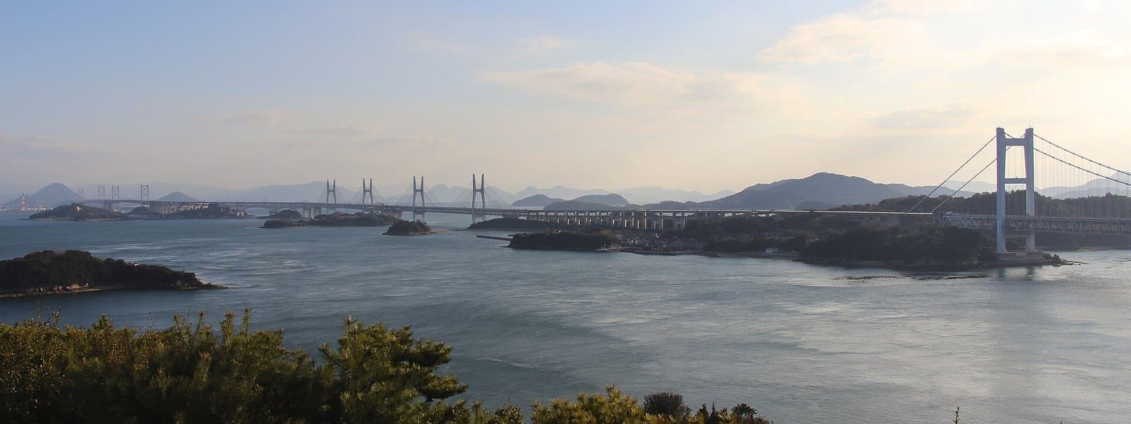 Photo: Kanchi1979 / Wikimedia Commons, CC BY-SA 4.0 (resized)Mt. Washu Observation DecksOkayama7 km away (straight line)
- No photo yetKojima Jeans StreetOkayama7 km away (straight line)
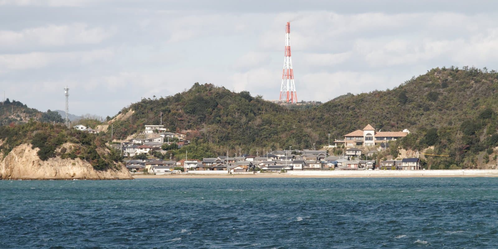 Photo: KimonBerlin / Wikimedia Commons, CC BY-SA 2.0 (resized)Naoshima IslandKagawa11 km away (straight line)
- No photo yetTakeshi Kawashima Art FactoryKagawa11 km away (straight line)
- No photo yetSeto Ohashi Memorial ParkKagawa13 km away (straight line)
Distances are straight-line distances, not travel distances.
Crowds
- Crowd level
Not checked yet — no official source yet, and not enough traveler reports.
- Best time to visit
Not checked yet — no official source yet, and not enough traveler reports.
- Peak time
Not checked yet — no official source yet, and not enough traveler reports.
- Busiest days
Not checked yet — no official source yet, and not enough traveler reports.
- Busiest season
Cherry blossoms late March to early April (about 1,000 trees).
Checked 28 Sept 2026 on the official site- Latest traveler report
- None yet
Traveler crowd data by time of day appears after 5 traveler reports (0 so far).
You can check typical busy hours in Google Maps ("Popular times" on the place's page). Open this spot in Google Maps
Verification log
- 28 Sept 2026First check · Tourism board · https://www.okayama-kanko.jp/spot/detail_10609.htmlAccess, parking, description, address, events and coordinates read from a tourism organization's site.