
Uto, Kumamoto / 長部田海床路
Nagabeta Kaishoro (Sea Road)
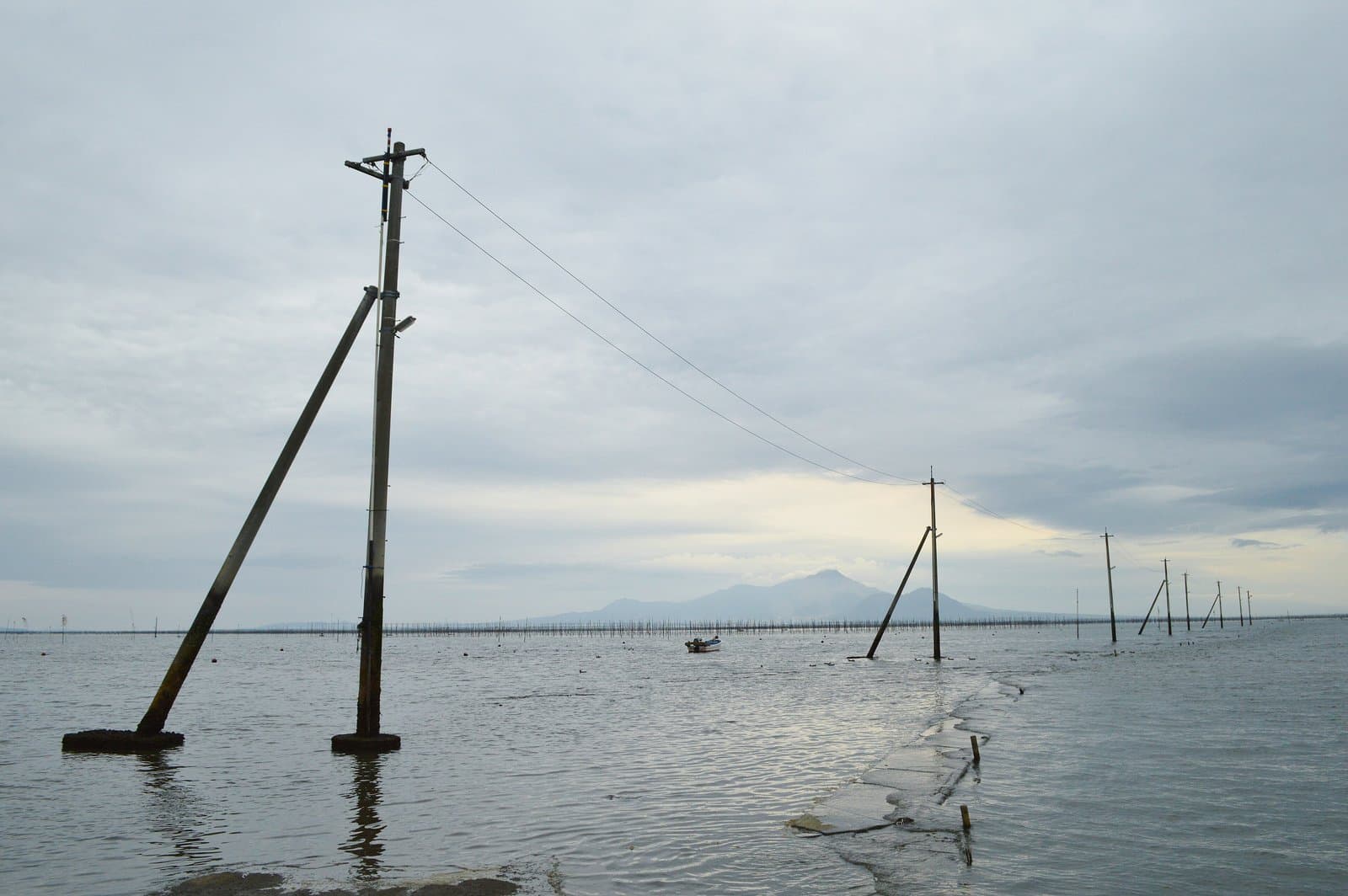
A spot that became famous for the pairing of a road running straight into the sea and the utility poles beside it. Facing the Ariake Sea, which has the largest tidal range in Japan, at low tide a concrete road appears leading to the seaweed farms offshore, and at high tide only the poles stick up out of the water; the scenery changes with the time you visit.
Last official check
26 Sept 2026
Traveler reports
0
Reports open in Phase 2
Next scheduled check
25 Dec 2026
Decide before you go
A short summary made from the official facts below. Check the rows for details.
- Getting there
- Bus
Before you go
Only facts we confirmed on official sources are shown. Anything else is marked “Not checked yet”.
- Opening hours
Not checked yet — we have not confirmed this on an official source yet. Check with the spot before you go.
- Closed
Not checked yet — we have not confirmed this on an official source yet. Check with the spot before you go.
- Admission
Not checked yet — we have not confirmed this on an official source yet. Check with the spot before you go.
- Getting there
About 5 minutes on foot from the Nagabeta stop of the Rapid Amakusa bus (Kumamoto city - Amakusa Hondo).
Checked 26 Sept 2026 on the official site- Parking
Not checked yet — we have not confirmed this on an official source yet. Check with the spot before you go.
- Payment
Not checked yet — we have not confirmed this on an official source yet. Check with the spot before you go.
- Accessibility
Not checked yet — we have not confirmed this on an official source yet. Check with the spot before you go.
Found wrong or outdated information? Let us know
Address: Uto, Kumamoto (Japanese address: 熊本県宇土市住吉町)
Official site: https://kumamoto.guide/spots/detail/12475
Location
Smaller pins are other spots nearby.
Nearby spots
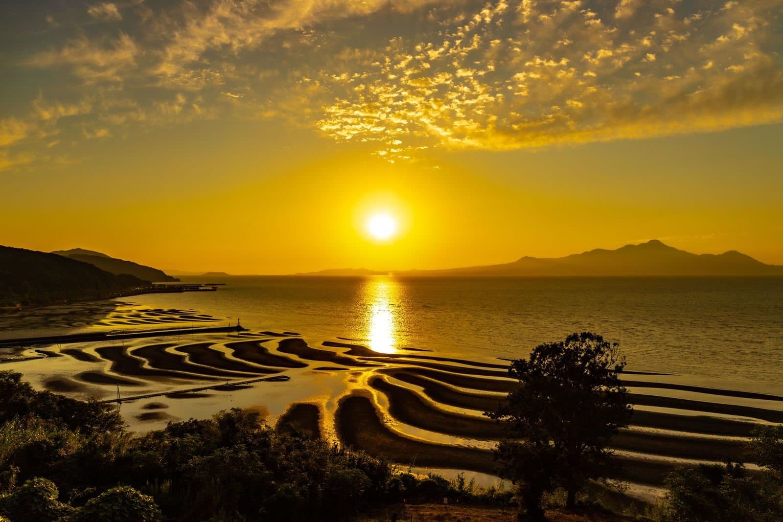 Photo: くろふね / Wikimedia Commons, CC BY 4.0Okoshiki CoastKumamoto5 km away (straight line)
- No photo yetReigando CaveKumamoto13 km away (straight line)
- No photo yetMisumi West PortKumamoto15 km away (straight line)
- No photo yetSAKURA MACHI KumamotoKumamoto16 km away (straight line)
- No photo yetKumamoto CastleKumamoto16 km away (straight line)
Distances are straight-line distances, not travel distances.
Crowds
- Crowd level
Not checked yet — no official source yet, and not enough traveler reports.
- Best time to visit
At low tide the road appears; at high tide only the poles show above the sea.
Checked 26 Sept 2026 on the official site- Peak time
Not checked yet — no official source yet, and not enough traveler reports.
- Busiest days
Not checked yet — no official source yet, and not enough traveler reports.
- Busiest season
Not checked yet — no official source yet, and not enough traveler reports.
- Latest traveler report
- None yet
Traveler crowd data by time of day appears after 5 traveler reports (0 so far).
You can check typical busy hours in Google Maps ("Popular times" on the place's page). Open this spot in Google Maps
Verification log
- 26 Sept 2026First check · Tourism board · https://kumamoto.guide/spots/detail/12475Access, description, address and coordinates read from a tourism organization's site.