
Aso, Kumamoto / 杵島岳
Mt. Kishima
A 1,321 m mountain, one of the five peaks of Aso. Most of the trail is paved with steps on the slopes, so even beginners can climb easily; it is about 40 minutes on foot from the Kusasenri car park without rests. The climb is steep, but the summit gives a 360-degree view of Kusasenri-ga-hama, Nakadake, Komezuka and the northern outer rim, and on clear days as far as Kumamoto City, the Ariake Sea and Unzen in Nagasaki.
Last official check
28 Sept 2026
Traveler reports
0
Reports open in Phase 2
Next scheduled check
26 Dec 2026
Decide before you go
A short summary made from the official facts below. Check the rows for details.
- Entry
- Conditions apply (see below)
Before you go
Only facts we confirmed on official sources are shown. Anything else is marked “Not checked yet”.
- Opening hours
Not checked yet — we have not confirmed this on an official source yet. Check with the spot before you go.
- Closed
Not checked yet — we have not confirmed this on an official source yet. Check with the spot before you go.
- Admission
Not checked yet — we have not confirmed this on an official source yet. Check with the spot before you go.
- Getting there
About 40 minutes on foot from the Kusasenri car park (without rests).
Checked 27 Sept 2026 on the official site- Parking
Not checked yet — we have not confirmed this on an official source yet. Check with the spot before you go.
- Payment
Not checked yet — we have not confirmed this on an official source yet. Check with the spot before you go.
- Accessibility
Not checked yet — we have not confirmed this on an official source yet. Check with the spot before you go.
Found wrong or outdated information? Let us know
Address: Aso, Kumamoto (Japanese address: 熊本県阿蘇市乙姫)
Official site: https://kumamoto.guide/spots/detail/12524
Location
Smaller pins are other spots nearby.
Nearby spots
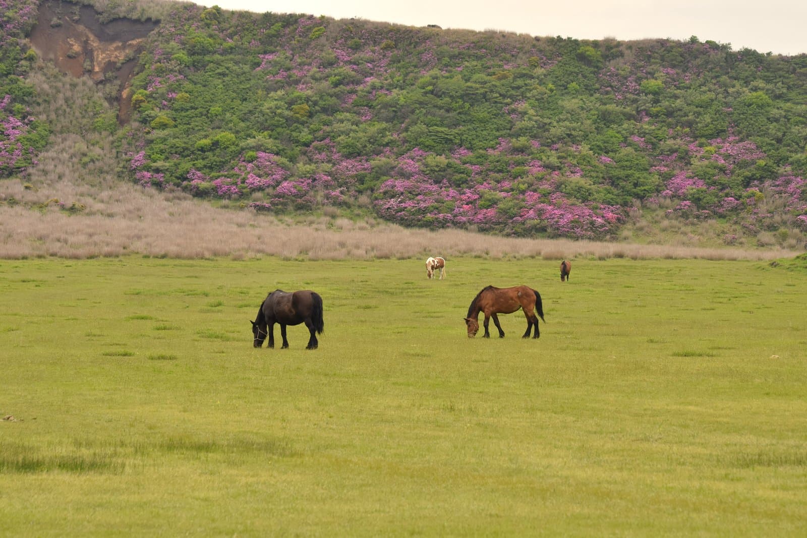 Photo: Raita Futo from Tokyo, Japan / Wikimedia Commons, CC BY 2.0 (resized)KusasenriKumamoto1 km away (straight line)
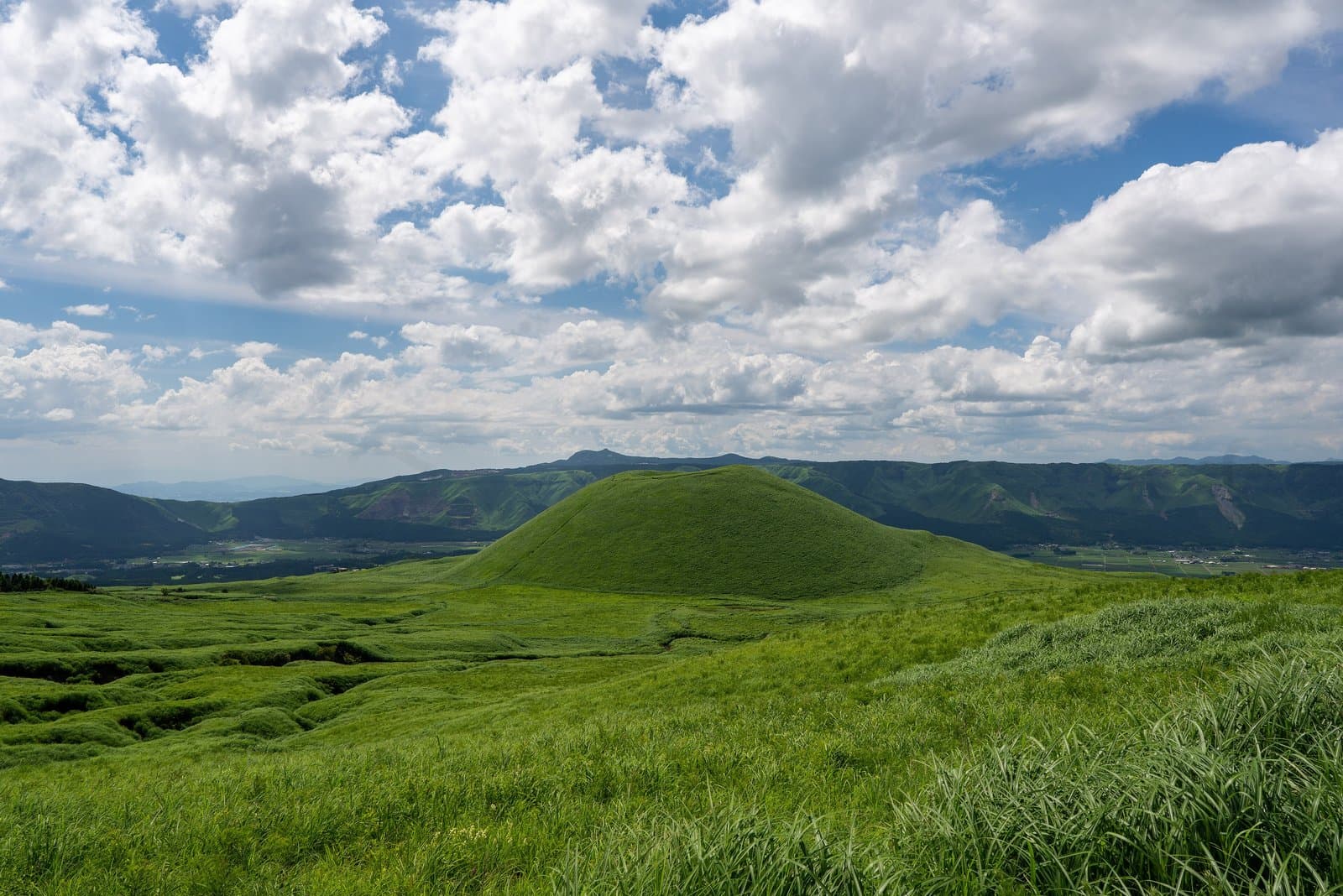 Photo: Big Ben in Japan / Wikimedia Commons, CC BY-SA 2.0 (resized)Mt. KomezukaKumamoto2 km away (straight line)
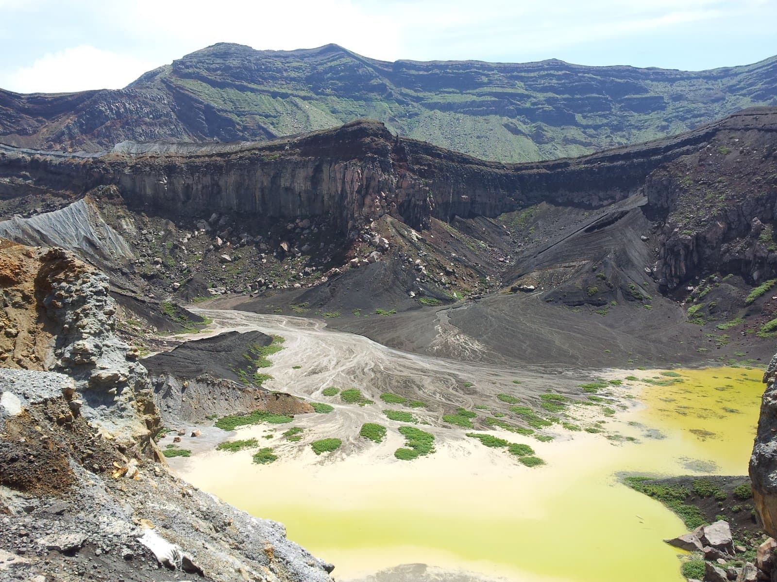 Photo: Lawsonstu / Wikimedia Commons, CC0 (resized)Mt. Nakadake Crater (Aso)Kumamoto3 km away (straight line)
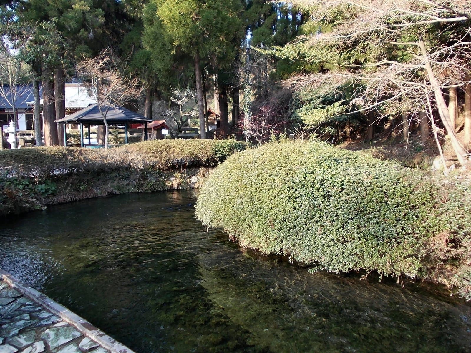 Photo: STA3816 / Wikimedia Commons, CC BY-SA 3.0 (resized)Shirakawa SpringKumamoto8 km away (straight line)
- No photo yetAso ShrineKumamoto8 km away (straight line)
Distances are straight-line distances, not travel distances.
Crowds
- Crowd level
Not checked yet — no official source yet, and not enough traveler reports.
- Best time to visit
Not checked yet — no official source yet, and not enough traveler reports.
- Peak time
Not checked yet — no official source yet, and not enough traveler reports.
- Busiest days
Not checked yet — no official source yet, and not enough traveler reports.
- Busiest season
Not checked yet — no official source yet, and not enough traveler reports.
- Latest traveler report
- None yet
Traveler crowd data by time of day appears after 5 traveler reports (0 so far).
You can check typical busy hours in Google Maps ("Popular times" on the place's page). Open this spot in Google Maps
Visiting respectfully
Check before you go: conditions for entry
If you do not meet these conditions, you may not be able to enter on the day.
- Aso (Nakadake) is under a crater-area warning (volcanic alert level 2), and the area within about 1 km of the Nakadake crater is off-limits. The Aso Park Road gate is closed at night (Aso volcano crater restriction page; checked September 28, 2026).Checked 28 Sept 2026 on the official site
Verification log
- 28 Sept 2026First check · Local government · https://www.aso-volcano.jp/Current crater restrictions read from the Aso volcano crater restriction page (Aso Volcano Disaster Prevention Council).
- 27 Sept 2026First check · Tourism board · https://kumamoto.guide/spots/detail/12524Description, address and coordinates read from a tourism organization's site.