
Aso, Kumamoto / 米塚
Mt. Komezuka
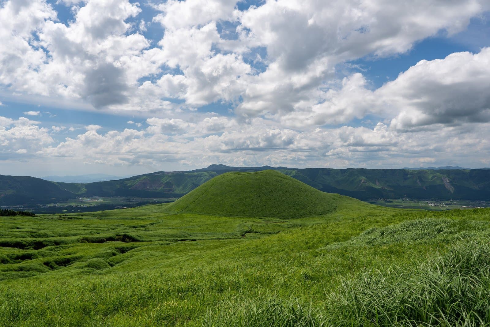
A hill about 80 m high said to have been formed by an eruption about 3,300 years ago, shaped like an upturned bowl with a large hollow at the top. Its slopes are covered in grassland, turning all green from spring to summer.
Last official check
26 Sept 2026
Traveler reports
0
Reports open in Phase 2
Next scheduled check
25 Dec 2026
Before you go
Only facts we confirmed on official sources are shown. Anything else is marked “Not checked yet”.
- Opening hours
Not checked yet — we have not confirmed this on an official source yet. Check with the spot before you go.
- Closed
Not checked yet — we have not confirmed this on an official source yet. Check with the spot before you go.
- Admission
Not checked yet — we have not confirmed this on an official source yet. Check with the spot before you go.
- Getting there
Not checked yet — we have not confirmed this on an official source yet. Check with the spot before you go.
- Parking
Not checked yet — we have not confirmed this on an official source yet. Check with the spot before you go.
- Payment
Not checked yet — we have not confirmed this on an official source yet. Check with the spot before you go.
- Accessibility
Not checked yet — we have not confirmed this on an official source yet. Check with the spot before you go.
Found wrong or outdated information? Let us know
Address: Aso, Kumamoto (Japanese address: 熊本県阿蘇市乙姫)
Official site: https://kumamoto.guide/spots/detail/11968
Location
Smaller pins are other spots nearby.
Nearby spots
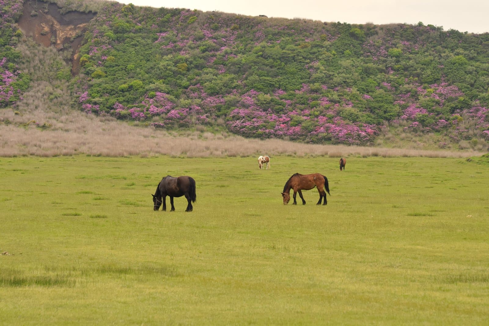 Photo: Raita Futo from Tokyo, Japan / Wikimedia Commons, CC BY 2.0 (resized)KusasenriKumamoto3 km away (straight line)
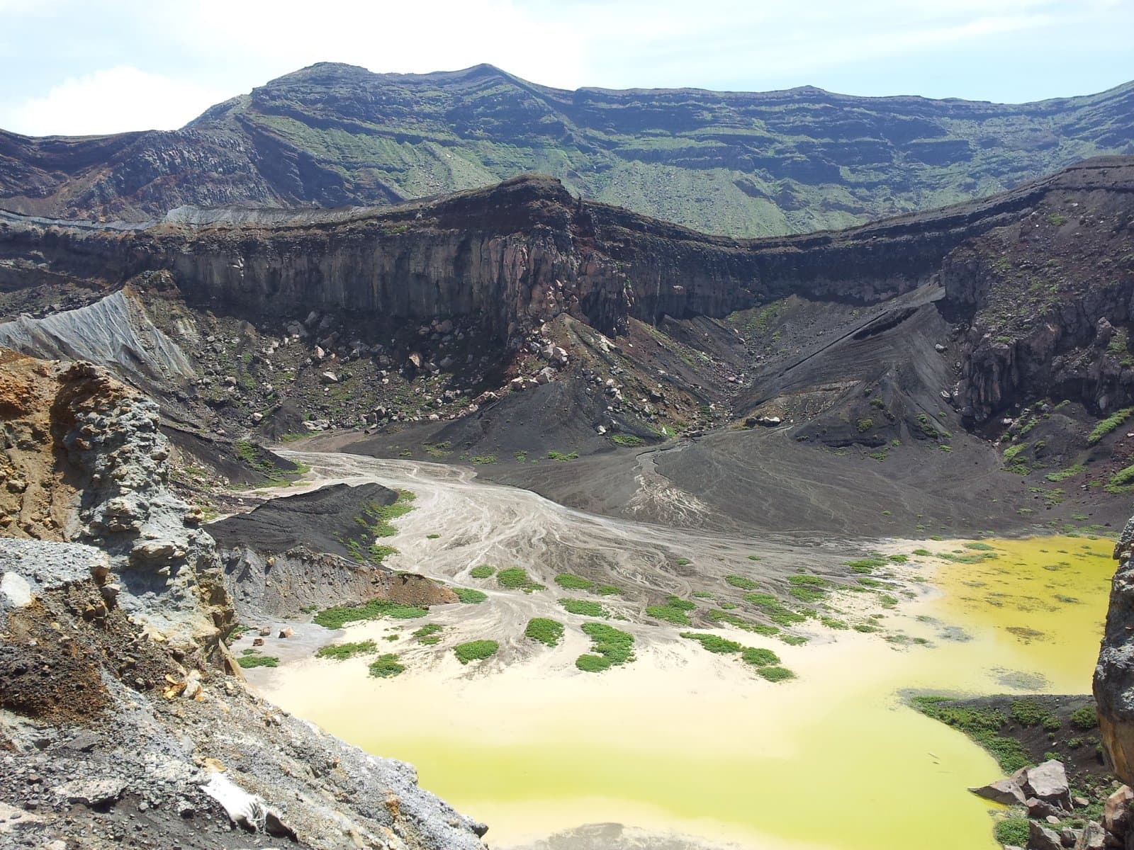 Photo: Lawsonstu / Wikimedia Commons, CC0 (resized)Mt. Nakadake Crater (Aso)Kumamoto4 km away (straight line)
- No photo yetUchinomaki OnsenKumamoto8 km away (straight line)
- No photo yetAso ShrineKumamoto8 km away (straight line)
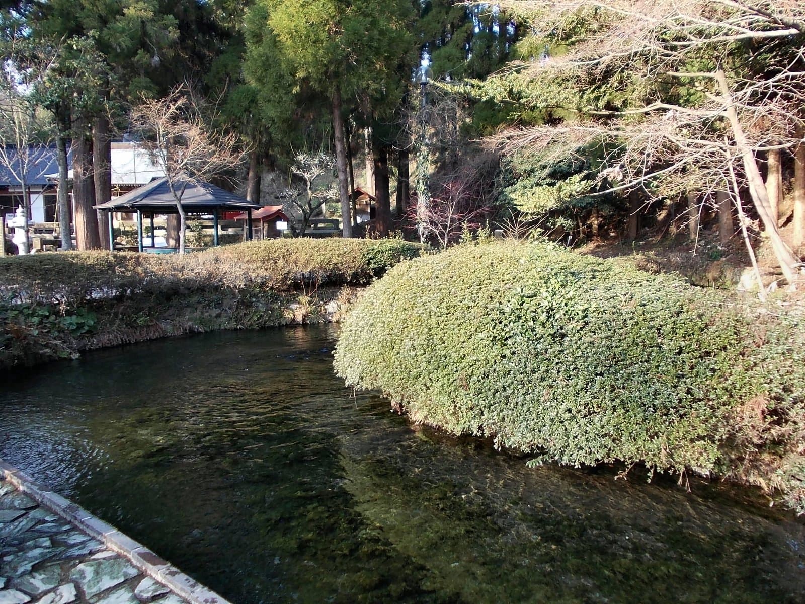 Photo: STA3816 / Wikimedia Commons, CC BY-SA 3.0 (resized)Shirakawa SpringKumamoto10 km away (straight line)
Distances are straight-line distances, not travel distances.
Crowds
- Crowd level
Not checked yet — no official source yet, and not enough traveler reports.
- Best time to visit
Not checked yet — no official source yet, and not enough traveler reports.
- Peak time
Not checked yet — no official source yet, and not enough traveler reports.
- Busiest days
Not checked yet — no official source yet, and not enough traveler reports.
- Busiest season
Not checked yet — no official source yet, and not enough traveler reports.
- Latest traveler report
- None yet
Traveler crowd data by time of day appears after 5 traveler reports (0 so far).
You can check typical busy hours in Google Maps ("Popular times" on the place's page). Open this spot in Google Maps
Verification log
- 26 Sept 2026First check · Tourism board · https://kumamoto.guide/spots/detail/11968Description, address and coordinates read from a tourism organization's site.