
Yuza, Yamagata / 鳥海山
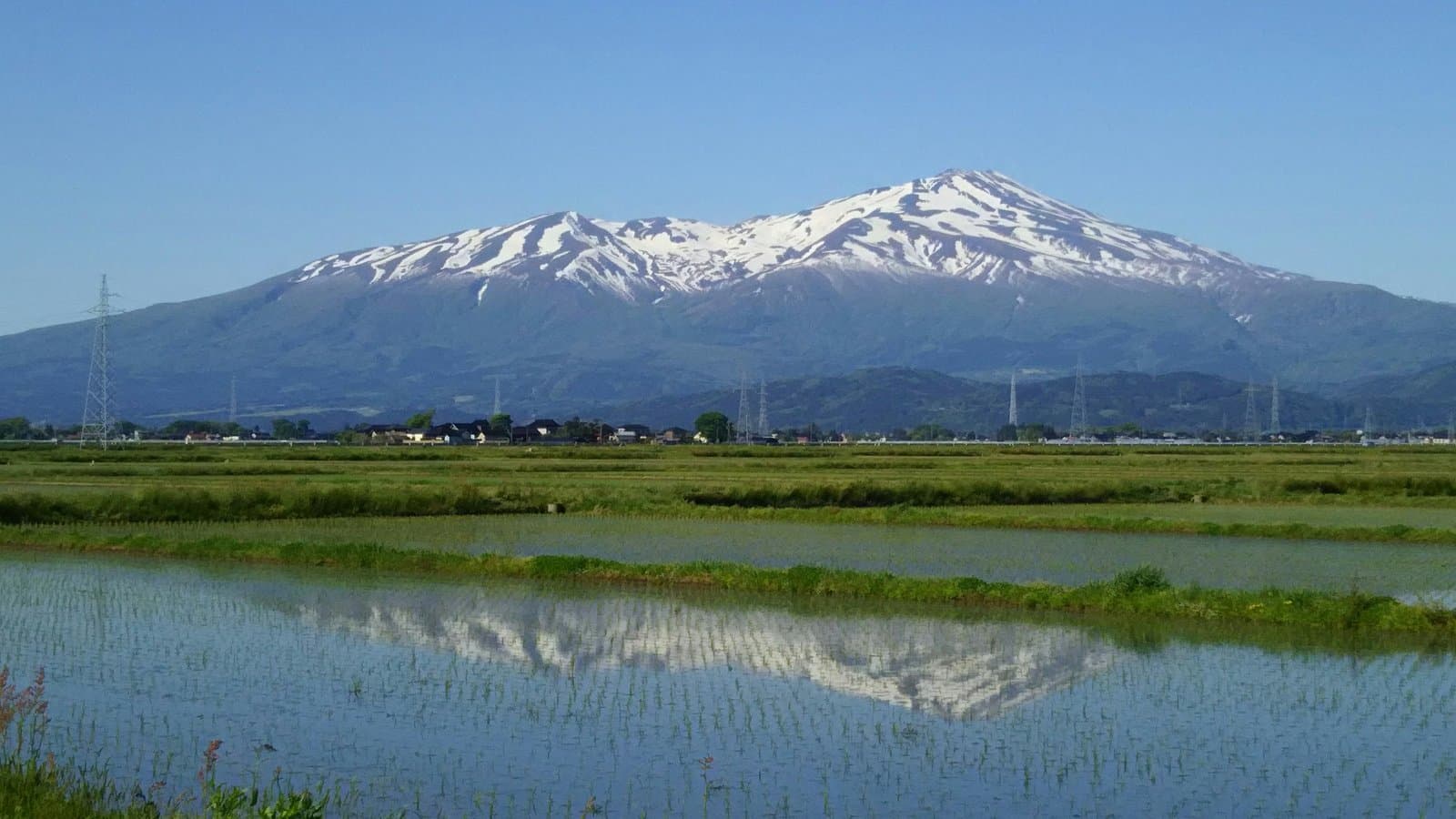
Mt. Chokai
One of Japan's 100 famous mountains, rising from sea level on the Sea of Japan to 2,236 m and called "Dewa Fuji"; hiking season is May to October, and in spring to autumn you can drive the Chokai Blue Line to the 5th station at 1,500 m.
Last official check
25 Sept 2026
Traveler reports
0
Reports open in Phase 2
Next scheduled check
24 Dec 2026
Decide before you go
A short summary made from the official facts below. Check the rows for details.
- Getting there
- Train / Car
Before you go
Only facts we confirmed on official sources are shown. Anything else is listed under “Not yet confirmed”.
- Opening hours
The climbing season runs from May to October.
Checked 25 Sept 2026 on a tourism board site- Getting there
About 40 min by car from Yuza Station to the Fukura (Ohira) trailhead, or 40 min from Sakata Station to the Yunodai trailhead. In the climbing season shared taxis run from Sakata and Yuza stations to the trailheads.
Checked 25 Sept 2026 on a tourism board site- Not yet confirmed
Closed, Admission, Parking, Payment, Accessibility
we have not confirmed this on an official source yet. Check with the spot before you go.
Found wrong or outdated information? Let us know
Address: Yuza, Yamagata (Japanese address: 山形県飽海郡遊佐町吹浦)
Official site: https://yamagatakanko.com/attractions/detail_12295.html
Location
Smaller pins are other spots nearby.
Nearby spots
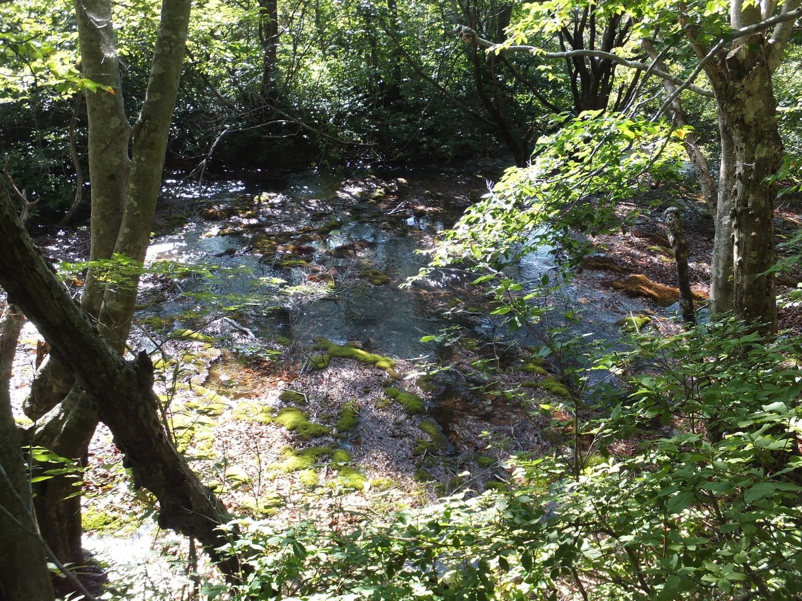 Photo: 8-Forest / Wikimedia Commons, CC BY-SA 4.0 (resized)Shishigahana MarshAkita5 km away (straight line)
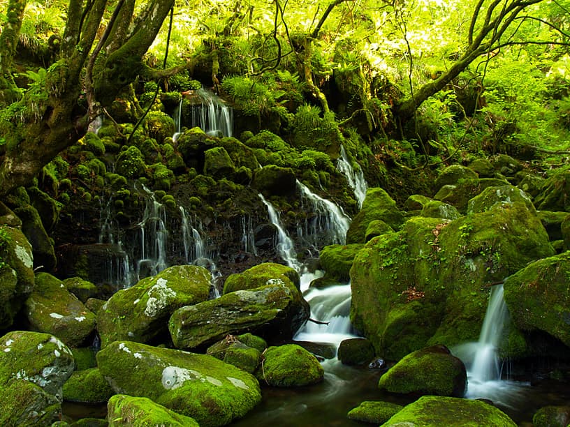 Photo: Ryuetsu Kato / Wikimedia Commons, CC BY 3.0Mototaki Spring FallsAkita6 km away (straight line)
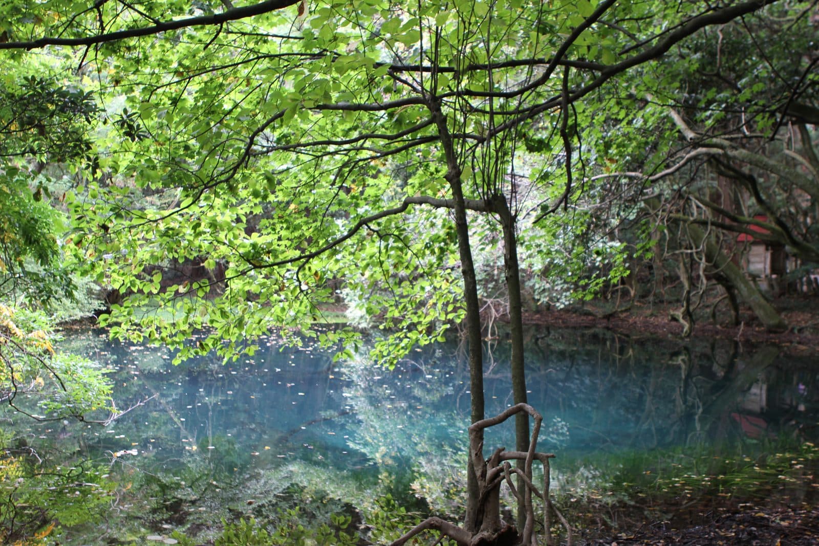 Photo: Yamagata Prefecture (yamagatakanko.com)Maruike-sama Spring PondYamagata10 km away (straight line)
 Photo: 掬茶 / Wikimedia Commons, CC BY-SA 4.0 (cropped and resized)Kujukushima (Kisakata)Akita13 km away (straight line)
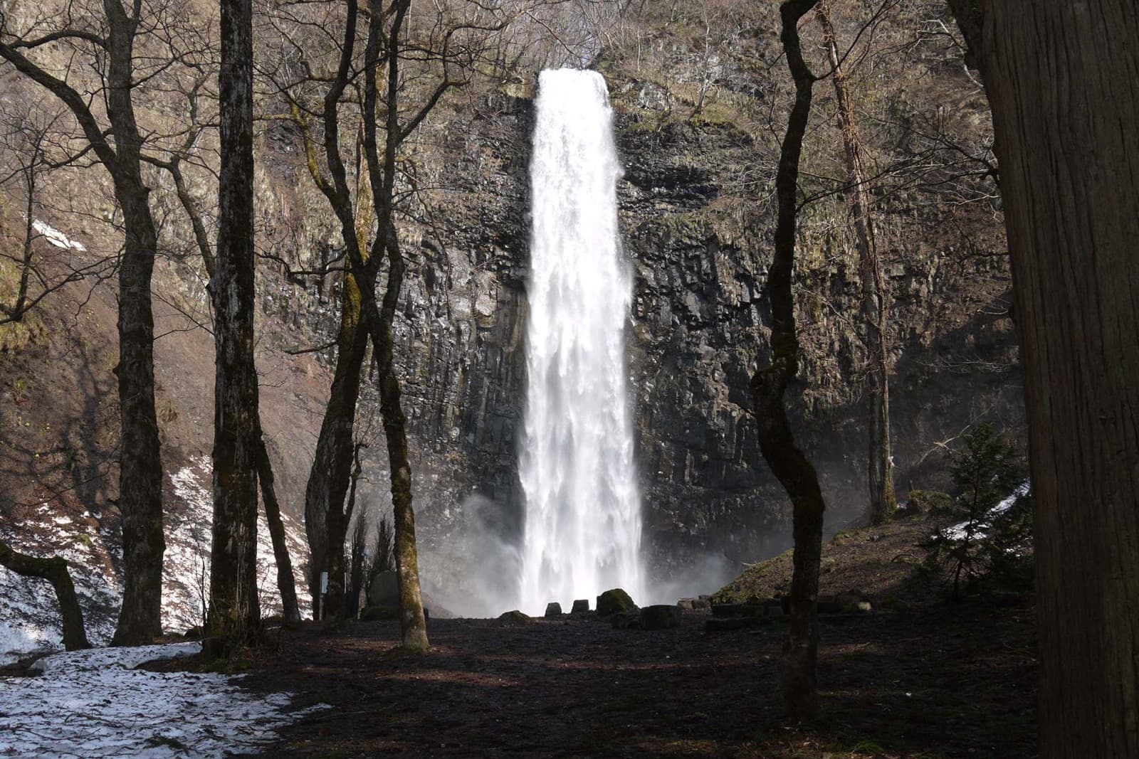 Photo: Jun K / Wikimedia Commons, CC BY-SA 2.0 (resized)Tamasudare FallsYamagata15 km away (straight line)
Distances are straight-line distances, not travel distances.
Crowds
- Not yet confirmed
Crowd level, Best time to visit, Peak time, Busiest days, Busiest season
no official source yet, and not enough traveler reports.
- Latest traveler report
- None yet
Traveler crowd data by time of day appears after 5 traveler reports (0 so far).
You can check typical busy hours in Google Maps ("Popular times" on the place's page). Open this spot in Google Maps
Visiting respectfully
- Local etiquetteBeginners and flower lovers are recommended the Fukura route from the Ohira trailhead via Shimizu Okami, Kawarajuku and the Ohama hut to Lake Chokai; experienced hikers the Yunodai route to the summit. Enquiries: Chokai Quasi-National Park tourism council (0234-72-5886).Checked 25 Sept 2026 on a tourism board site
- Local etiquetteObira Sanso, the lodge at the Obira trailhead, is closed for the whole of 2026 for repairs.Checked 25 Sept 2026 on a tourism board site
Verification log
- 25 Sept 2026First check · Tourism board · https://yamagatakanko.com/attractions/detail_12295.htmlAccess, description and coordinates read from a tourism organization's site.