
Nikaho, Akita / 九十九島(象潟)
Kujukushima (Kisakata)
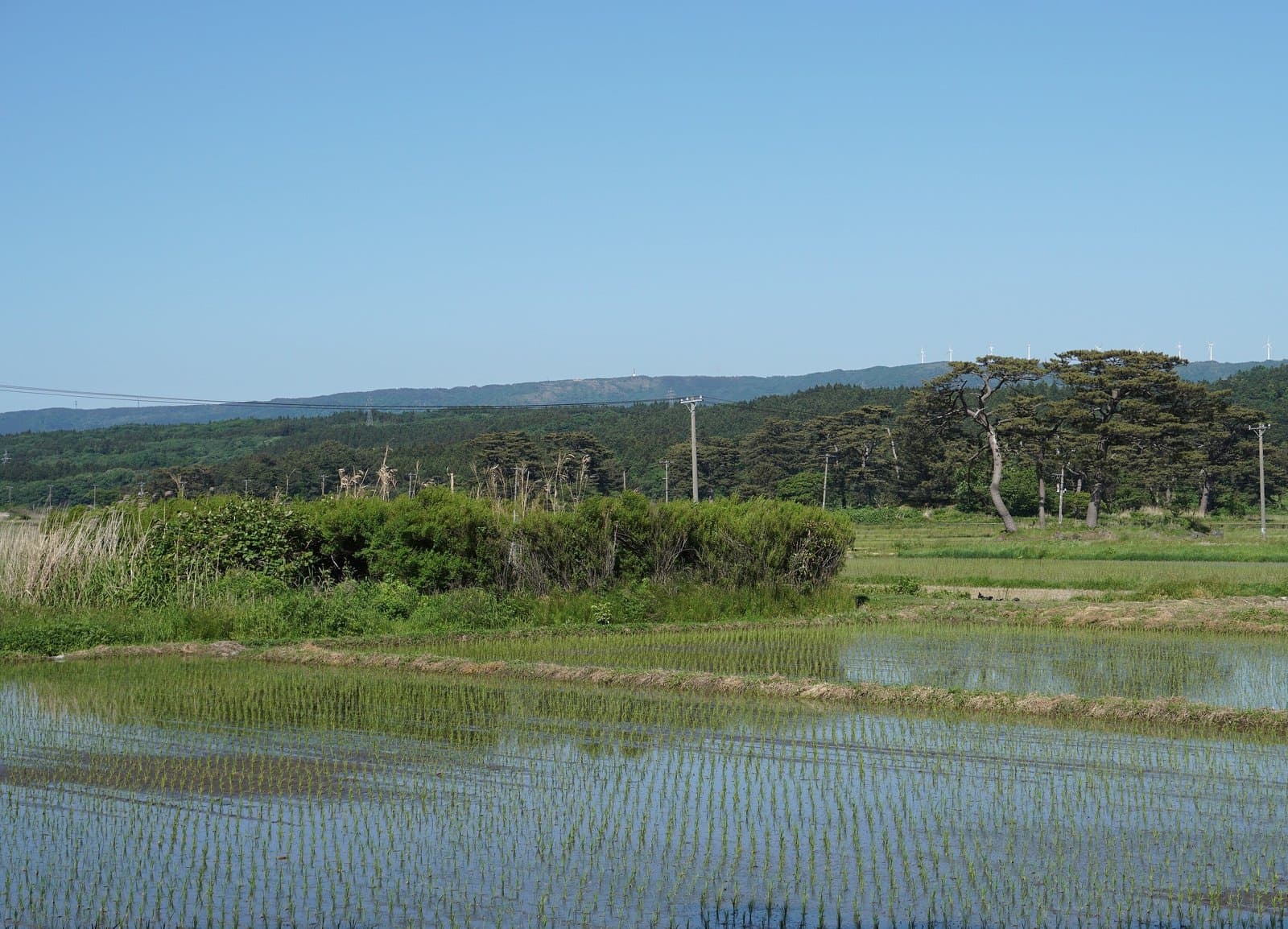
Once known far and wide as a scenic place of "88 lagoons and 99 islands", Kisakata became land when the seabed rose in the great earthquake of 1804. In "The Narrow Road to the Deep North" (1689) Matsuo Basho wrote that "Matsushima seems to laugh, Kisakata seems to grieve" and composed a haiku here. It can be seen from the observation room of the roadside station "Nemu no Oka". A national natural monument.
Last official check
28 Sept 2026
Traveler reports
0
Reports open in Phase 2
Next scheduled check
27 Dec 2026
Decide before you go
A short summary made from the official facts below. Check the rows for details.
- Getting there
- Train / Car
Before you go
Only facts we confirmed on official sources are shown. Anything else is marked “Not checked yet”.
- Opening hours
Not checked yet — we have not confirmed this on an official source yet. Check with the spot before you go.
- Closed
Not checked yet — we have not confirmed this on an official source yet. Check with the spot before you go.
- Admission
Not checked yet — we have not confirmed this on an official source yet. Check with the spot before you go.
- Getting there
About 5 minutes by car from JR Kisakata Station.
Checked 28 Sept 2026 on the official site- Parking
Not checked yet — we have not confirmed this on an official source yet. Check with the spot before you go.
- Payment
Not checked yet — we have not confirmed this on an official source yet. Check with the spot before you go.
- Accessibility
Not checked yet — we have not confirmed this on an official source yet. Check with the spot before you go.
Found wrong or outdated information? Let us know
Address: Nikaho, Akita (Japanese address: 秋田県にかほ市象潟町)
Official site: https://akita-fun.jp/spots/189
Location
Smaller pins are other spots nearby.
Nearby spots
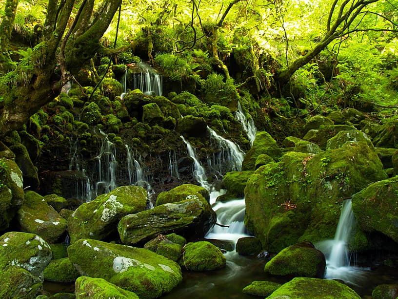 Photo: Ryuetsu Kato / Wikimedia Commons, CC BY 3.0Mototaki Spring FallsAkita8 km away (straight line)
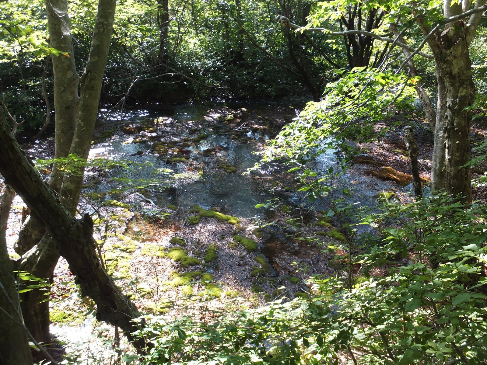 Photo: 8-Forest / Wikimedia Commons, CC BY-SA 4.0 (resized)Shishigahana MarshAkita12 km away (straight line)
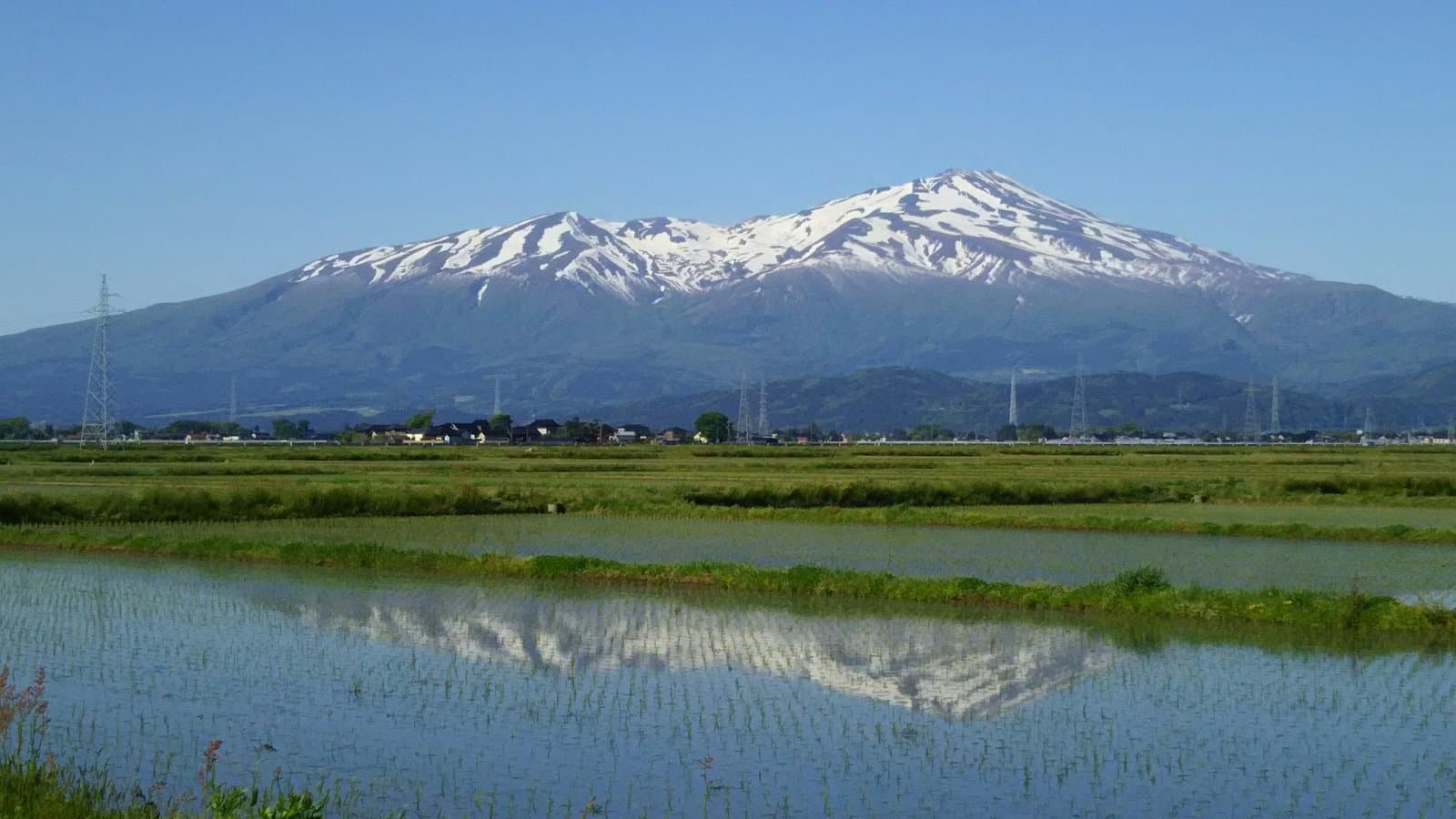 Photo: kyohei ito / Wikimedia Commons, CC BY-SA 2.0 (resized)Mt. ChokaiYamagata13 km away (straight line)
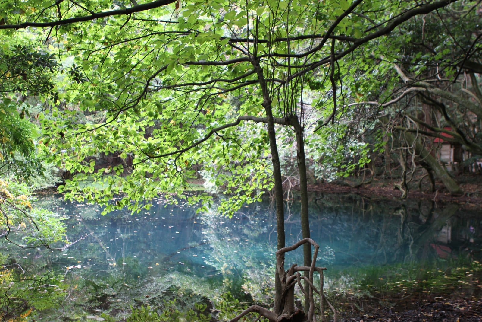 Photo: Yamagata Prefecture (yamagatakanko.com)Maruike-sama Spring PondYamagata16 km away (straight line)
Distances are straight-line distances, not travel distances.
Crowds
- Crowd level
Not checked yet — no official source yet, and not enough traveler reports.
- Best time to visit
Not checked yet — no official source yet, and not enough traveler reports.
- Peak time
Not checked yet — no official source yet, and not enough traveler reports.
- Busiest days
Not checked yet — no official source yet, and not enough traveler reports.
- Busiest season
Not checked yet — no official source yet, and not enough traveler reports.
- Latest traveler report
- None yet
Traveler crowd data by time of day appears after 5 traveler reports (0 so far).
You can check typical busy hours in Google Maps ("Popular times" on the place's page). Open this spot in Google Maps
Verification log
- 28 Sept 2026First check · Tourism board · https://akita-fun.jp/spots/189Access, description, address and coordinates read from a tourism organization's site.