
Hakodate, Hokkaido / 八幡坂
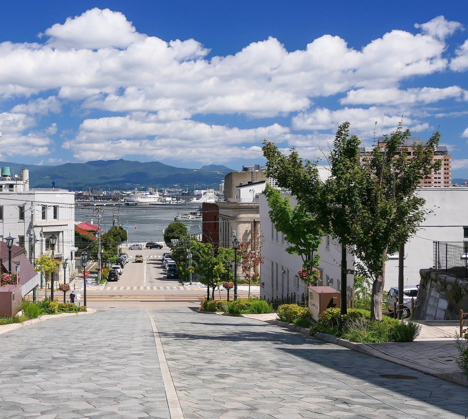
Hachimanzaka Slope
A stone-paved slope running straight down to Hakodate port, with the Seikan ferry Mashu Maru at its foot; named after Hakodate Hachimangu shrine that stood here until after the 1880 fire.
Last official check
26 Sept 2026
Traveler reports
0
Reports open in Phase 2
Next scheduled check
25 Dec 2026
Decide before you go
A short summary made from the official facts below. Check the rows for details.
- Getting there
- Car
Before you go
Only facts we confirmed on official sources are shown. Anything else is marked “Not checked yet”.
- Opening hours
Not checked yet — we have not confirmed this on an official source yet. Check with the spot before you go.
- Closed
Not checked yet — we have not confirmed this on an official source yet. Check with the spot before you go.
- Admission
Not checked yet — we have not confirmed this on an official source yet. Check with the spot before you go.
- Getting there
About 5 minutes on foot from the Suehiro-cho tram stop; about 20 minutes by car from Hakodate Airport.
Checked 26 Sept 2026 on the official site- Parking
Paid car parks nearby.
Checked 26 Sept 2026 on the official site- Payment
Not checked yet — we have not confirmed this on an official source yet. Check with the spot before you go.
- Accessibility
The sidewalks have stairs with handrails, and the road is heated in winter.
Checked 26 Sept 2026 on the official site
Found wrong or outdated information? Let us know
Address: Hakodate, Hokkaido (Japanese address: 北海道函館市元町・末広町)
Official site: https://www.hakobura.jp/db/db-view/2010/09/post-17.html
Location
Smaller pins are other spots nearby.
Nearby spots
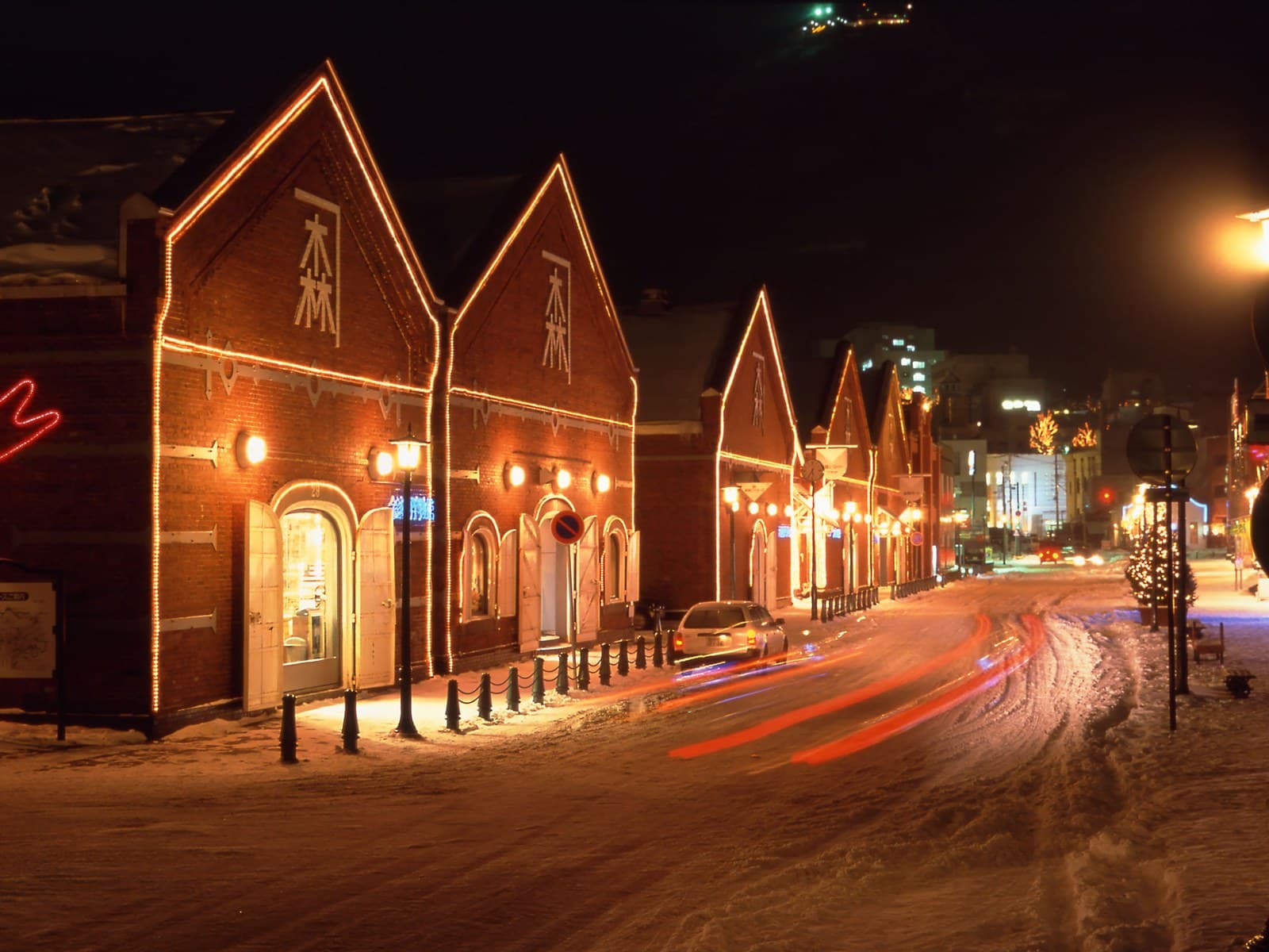 Photo: HOKKAIDO LOVE! Photo Library (Hokkaido Tourism Organization) / not for reuseKanemori Red Brick WarehouseHokkaidoLess than 1 km away (straight line)
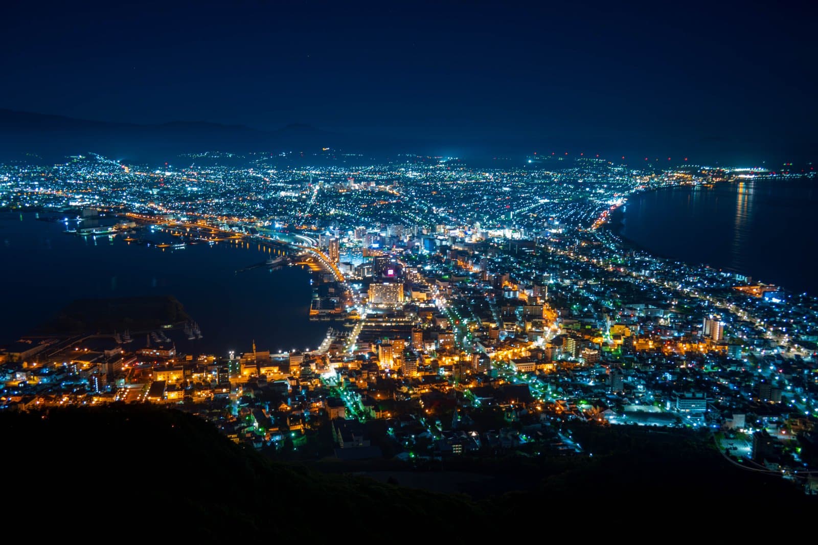 Photo: Photo ACMt. Hakodate RopewayHokkaidoLess than 1 km away (straight line)
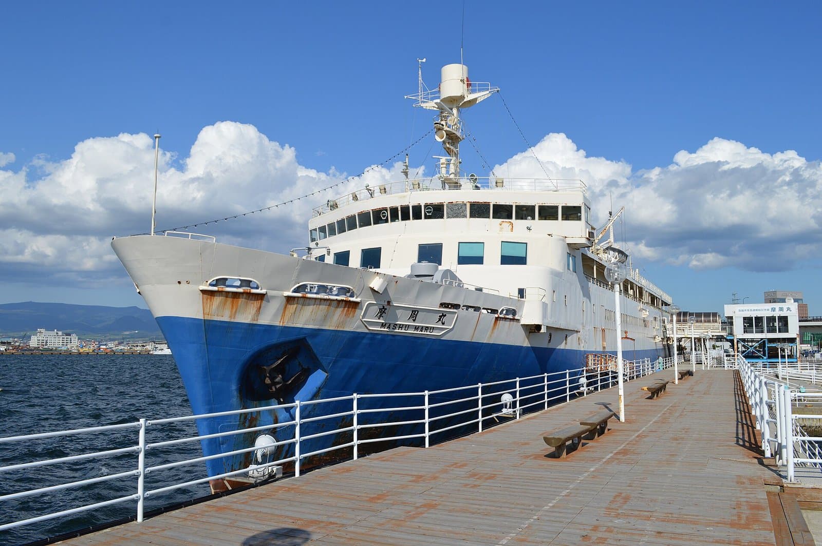 Photo: Saigen Jiro / Wikimedia Commons, CC0 (resized)Seikan Ferry Memorial Ship Mashu MaruHokkaido1 km away (straight line)
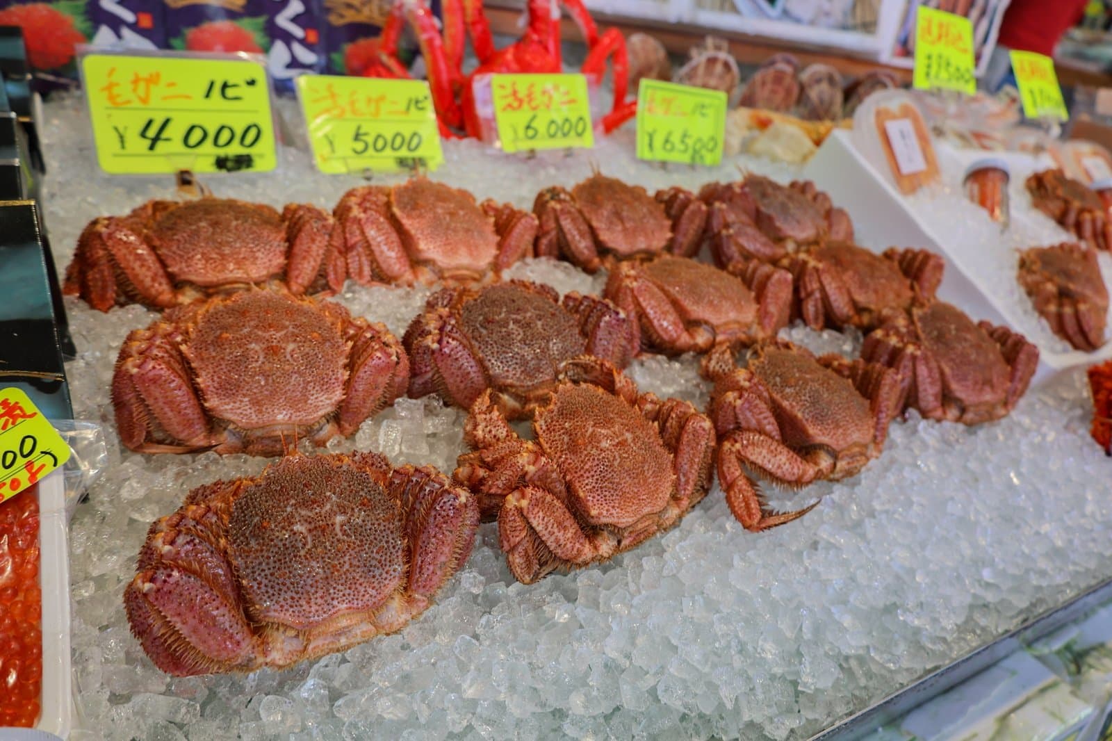 Photo: Photo ACHakodate Morning MarketHokkaido1 km away (straight line)
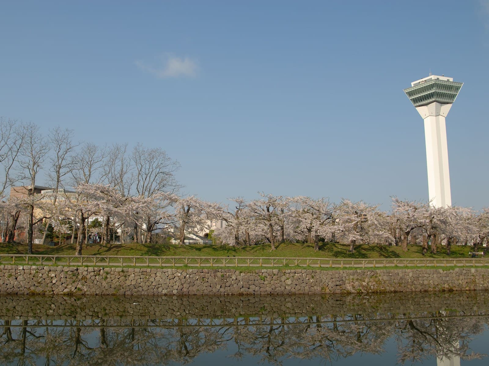 Photo: HOKKAIDO LOVE! Photo Library (Hokkaido Tourism Organization) / not for reuseGoryokaku TowerHokkaido5 km away (straight line)
Distances are straight-line distances, not travel distances.
Crowds
- Crowd level
Not checked yet — no official source yet, and not enough traveler reports.
- Best time to visit
At dusk the street lamps light the stones and the setting sun colours the town.
Checked 26 Sept 2026 on the official site- Peak time
Not checked yet — no official source yet, and not enough traveler reports.
- Busiest days
Not checked yet — no official source yet, and not enough traveler reports.
- Busiest season
Not checked yet — no official source yet, and not enough traveler reports.
- Latest traveler report
- None yet
Traveler crowd data by time of day appears after 5 traveler reports (0 so far).
You can check typical busy hours in Google Maps ("Popular times" on the place's page). Open this spot in Google Maps
Verification log
- 26 Sept 2026First check · Tourism board · https://www.visit-hokkaido.jp/spot/detail_10089.htmlAccess, parking, description and coordinates read from a tourism organization's site.