
Shimogo, Fukushima / 塔のへつり
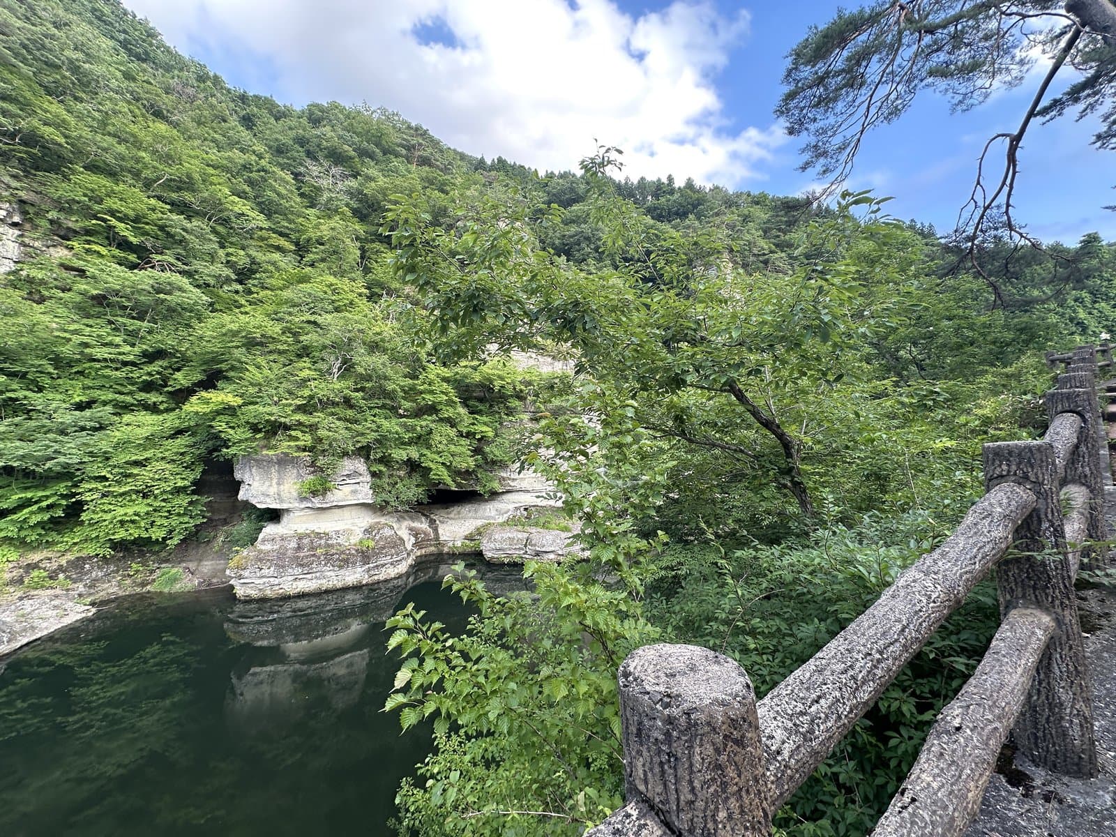
To-no-Hetsuri Rock Formations
A landscape of strange rock formations created as the Okawa (Aga) River repeated erosion and weathering over a million years. It is the largest scenic spot in Okawa-Hatori Prefectural Park and was designated a national Natural Monument in 1943 (Showa 18).
Last official check
25 Sept 2026
Traveler reports
0
Reports open in Phase 2
Next scheduled check
24 Dec 2026
Before you go
Only facts we confirmed on official sources are shown. Anything else is marked “Not checked yet”.
- Opening hours
Not checked yet — we have not confirmed this on an official source yet. Check with the spot before you go.
- Closed
Not checked yet — we have not confirmed this on an official source yet. Check with the spot before you go.
- Admission
Not checked yet — we have not confirmed this on an official source yet. Check with the spot before you go.
- Getting there
Not checked yet — we have not confirmed this on an official source yet. Check with the spot before you go.
- Parking
Not checked yet — we have not confirmed this on an official source yet. Check with the spot before you go.
- Payment
Not checked yet — we have not confirmed this on an official source yet. Check with the spot before you go.
- Accessibility
Not checked yet — we have not confirmed this on an official source yet. Check with the spot before you go.
Found wrong or outdated information? Let us know
Official site: https://www.town.shimogo.fukushima.jp/shimogo_navi/seeing/592.html
Location
Smaller pins are other spots nearby.
Nearby spots
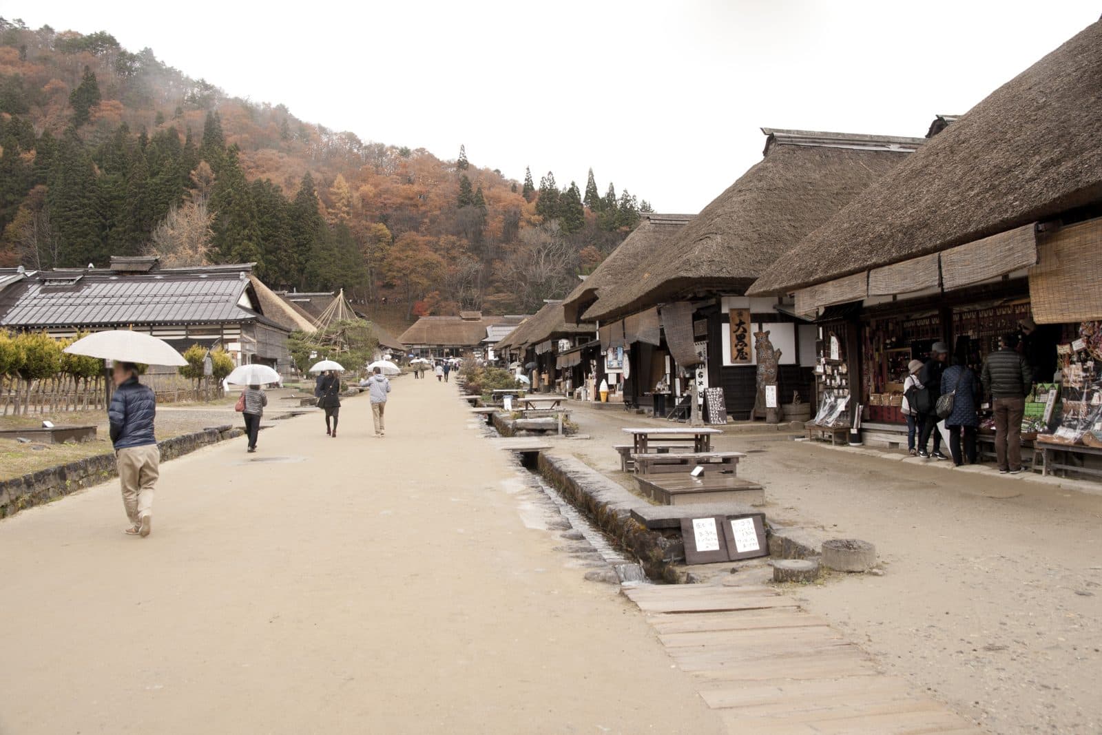 Photo: Σ64 / Wikimedia Commons, CC BY 4.0 (resized)Ouchi-juku post townFukushima8 km away (straight line)
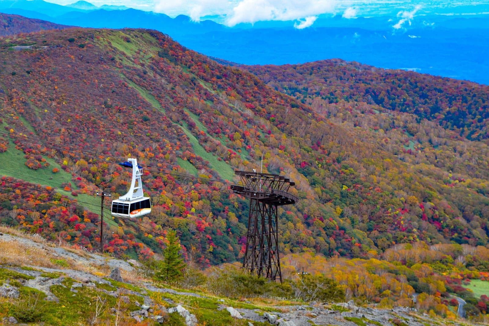 Photo: 9689tatsuya / Wikimedia Commons, CC BY 4.0 (resized)Nasu RopewayTochigi18 km away (straight line)
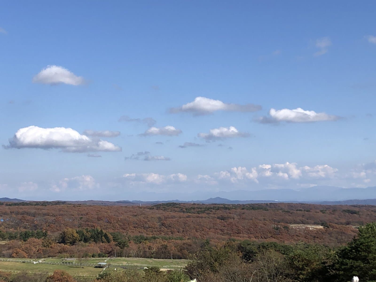 Photo: Photo ACNasu Animal KingdomTochigi20 km away (straight line)
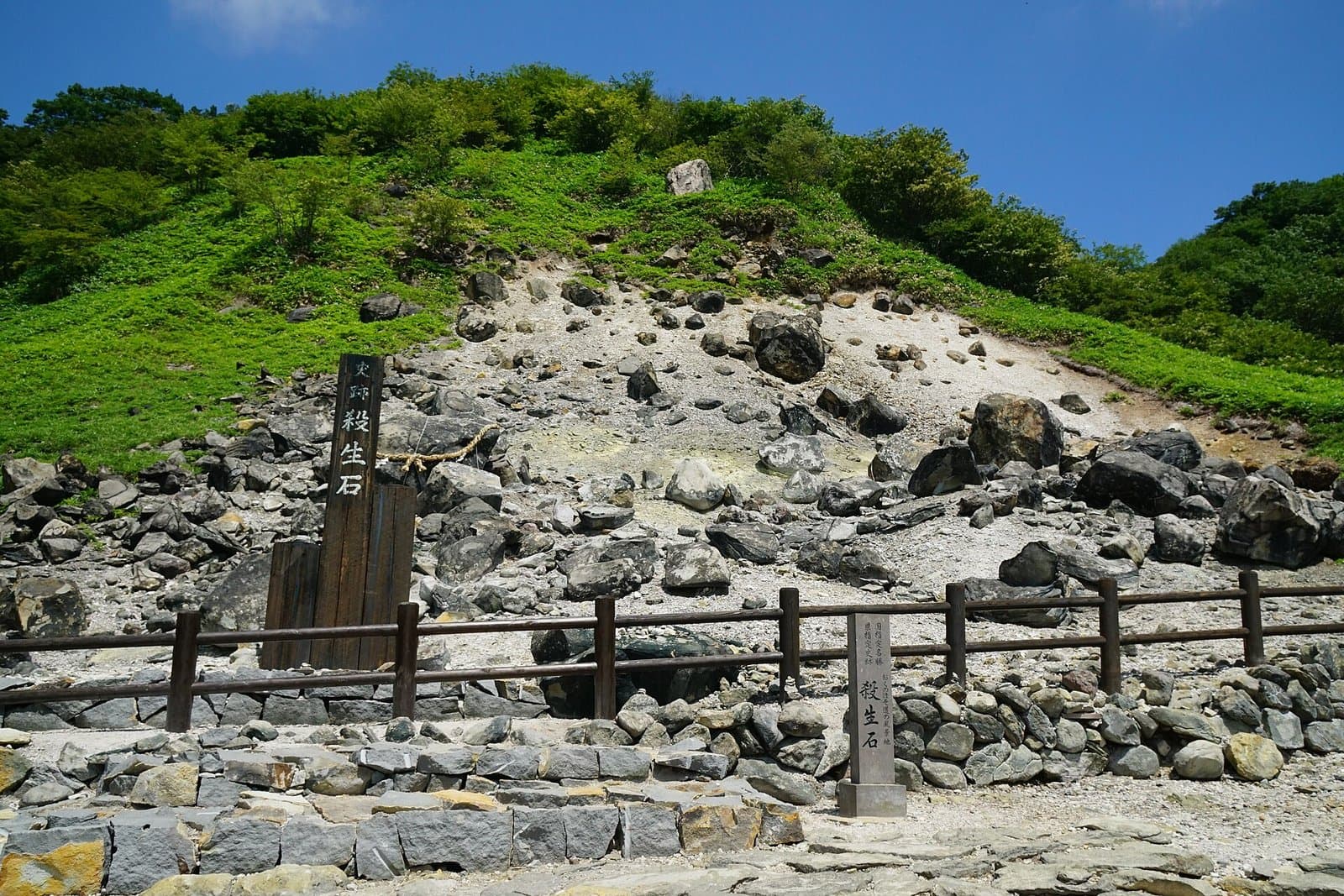 Photo: 663highland / Wikimedia Commons, CC BY 2.5 (resized)Sessho-seki (Killing Stone)Tochigi21 km away (straight line)
- No photo yetShika-no-Yu, Nasu YumotoTochigi22 km away (straight line)
Distances are straight-line distances, not travel distances.
Crowds
- Crowd level
Not checked yet — no official source yet, and not enough traveler reports.
- Best time to visit
Not checked yet — no official source yet, and not enough traveler reports.
- Peak time
Not checked yet — no official source yet, and not enough traveler reports.
- Busiest days
Not checked yet — no official source yet, and not enough traveler reports.
- Busiest season
Wild wisteria hangs from the rocks in early summer, and the autumn leaves are beautiful.
Checked 25 Sept 2026 on the official site- Latest traveler report
- None yet
Traveler crowd data by time of day appears after 5 traveler reports (0 so far).
You can check typical busy hours in Google Maps ("Popular times" on the place's page). Open this spot in Google Maps
Verification log
- 25 Sept 2026First check · Local government · https://www.town.shimogo.fukushima.jp/shimogo_navi/seeing/592.htmlDescription and coordinates read from the local government's site.