
Kure, Hiroshima / 野呂山
Mt. Noro
In the Setonaikai National Park in Kure, Mt. Noro is the highest peak on the Seto Inland Sea coast at 839 m. The "Sazanami Skyline" drive reaches near the summit, and the "Kabuto-iwa Observatory", a few minutes' walk from the car park beside the visitor centre, looks over the islands of the Inland Sea and, in good weather, the Ishizuchi range in Shikoku. Legend says the young Kobo Daishi trained here; the "Giant Rock Road" trail passes rocks such as "Ogasane-iwa" and the rock field "Gankai". There are cherry blossoms and azaleas in spring and autumn leaves, and in summer it is about 5 degrees cooler than the city.
Last official check
27 Sept 2026
Traveler reports
0
Reports open in Phase 2
Next scheduled check
26 Dec 2026
Decide before you go
A short summary made from the official facts below. Check the rows for details.
- Getting there
- Train / Car
- Admission
- Free entry
- Closing days
- Open every day (check the notes below)
Before you go
Only facts we confirmed on official sources are shown. Anything else is marked “Not checked yet”.
- Opening hours
Open all day.
Checked 27 Sept 2026 on the official site- Closed
Open every day.
Checked 27 Sept 2026 on the official site- Admission
Free.
Checked 27 Sept 2026 on the official site- Getting there
By car about 25 minutes from Gobara IC (Higashi-Hiroshima-Kure Road) or about 60 minutes from Kure IC (Hiroshima-Kure Road); by train, from Aki-Kawajiri Station (JR Kure Line) on foot along the Kabuto-iwa trail, about 120 minutes.
Checked 27 Sept 2026 on the official site- Parking
200 spaces (free) at the Noro Kogen Lodge car park.
Checked 27 Sept 2026 on the official site- Payment
Not checked yet — we have not confirmed this on an official source yet. Check with the spot before you go.
- Accessibility
Not checked yet — we have not confirmed this on an official source yet. Check with the spot before you go.
Found wrong or outdated information? Let us know
Address: Kure, Hiroshima (Japanese address: 広島県呉市川尻町板休5502-37)
Official site: https://dive-hiroshima.com/explore/61/
Location
Smaller pins are other spots nearby.
Nearby spots
- No photo yetKure Bay Warship CruiseHiroshima12 km away (straight line)
- No photo yetYamato Museum (Kure Maritime Museum)Hiroshima12 km away (straight line)
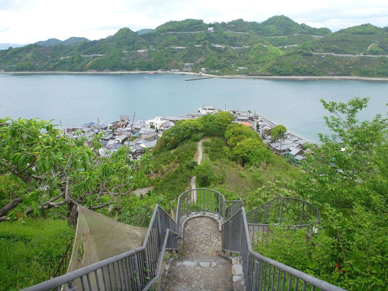 Photo: Kzaral / Wikimedia Commons, CC BY 2.0 (resized)Mitarai Historic TownscapeHiroshima19 km away (straight line)
- No photo yetSaijo Sake Brewery StreetHiroshima19 km away (straight line)
- No photo yetOkonomimuraHiroshima25 km away (straight line)
Distances are straight-line distances, not travel distances.
Crowds
- Crowd level
Not checked yet — no official source yet, and not enough traveler reports.
- Best time to visit
Not checked yet — no official source yet, and not enough traveler reports.
- Peak time
Not checked yet — no official source yet, and not enough traveler reports.
- Busiest days
Not checked yet — no official source yet, and not enough traveler reports.
- Busiest season
Not checked yet — no official source yet, and not enough traveler reports.
- Latest traveler report
- None yet
Traveler crowd data by time of day appears after 5 traveler reports (0 so far).
You can check typical busy hours in Google Maps ("Popular times" on the place's page). Open this spot in Google Maps
Verification log
- 27 Sept 2026First check · Tourism board · https://dive-hiroshima.com/explore/61/Hours, fees, access, parking, description, address and coordinates read from a tourism organization's site.